73rd meridian west

73°
73rd meridian west

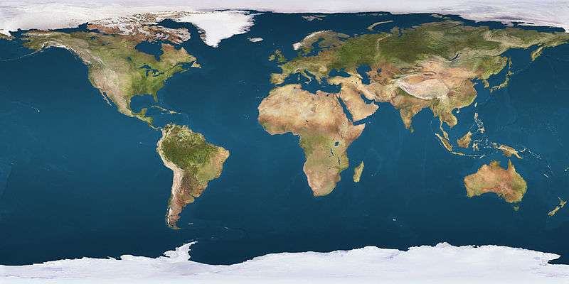
The meridian 73° west of Greenwich is a line of longitude that extends from the North Pole across the Arctic Ocean, North America, the Atlantic Ocean, the Caribbean Sea, South America, the Pacific Ocean, the Southern Ocean, and Antarctica to the South Pole.

The 73rd meridian west forms a great circle with the 107th meridian east.

From Pole to Pole

Starting at the North Pole and heading south to the South Pole, the 73rd meridian west passes through:

Co-ordinates Country, territory or sea Notes
90°0′N 73°0′W / 90.000°N 73.000°W / 90.000; -73.000 (Arctic Ocean) Arctic Ocean
83°4′N 73°0′W / 83.067°N 73.000°W / 83.067; -73.000 (Canada)  Canada NunavutEllesmere Island
79°45′N 73°0′W / 79.750°N 73.000°W / 79.750; -73.000 (Nares Strait) Nares Strait
78°11′N 73°0′W / 78.183°N 73.000°W / 78.183; -73.000 (Greenland)  Greenland Sutherland Island
78°9′N 73°0′W / 78.150°N 73.000°W / 78.150; -73.000 (Baffin Bay) Baffin Bay Passing just west of Hakluyt Island,  Greenland (at 77°26′N 72°48′W / 77.433°N 72.800°W / 77.433; -72.800 (Hakluyt Island))
Passing through the Carey Islands,  Greenland (at 76°42′N 72°48′W / 76.700°N 72.800°W / 76.700; -72.800 (Carey Islands))
71°26′N 73°0′W / 71.433°N 73.000°W / 71.433; -73.000 (Canada)  Canada NunavutDexterity Island, Adams Island and Baffin Island
68°13′N 73°0′W / 68.217°N 73.000°W / 68.217; -73.000 (Foxe Basin) Foxe Basin
66°43′N 73°0′W / 66.717°N 73.000°W / 66.717; -73.000 (Canada)  Canada NunavutBaffin Island
64°5′N 73°0′W / 64.083°N 73.000°W / 64.083; -73.000 (Hudson Strait) Hudson Strait
62°11′N 73°0′W / 62.183°N 73.000°W / 62.183; -73.000 (Canada)  Canada Quebec
45°1′N 73°0′W / 45.017°N 73.000°W / 45.017; -73.000 (United States)  United States Vermont
Massachusetts – from 42°44′N 73°0′W / 42.733°N 73.000°W / 42.733; -73.000 (Massachusetts)
Connecticut – from 42°2′N 73°0′W / 42.033°N 73.000°W / 42.033; -73.000 (Connecticut)
41°13′N 73°0′W / 41.217°N 73.000°W / 41.217; -73.000 (Long Island Sound) Long Island Sound
40°58′N 73°0′W / 40.967°N 73.000°W / 40.967; -73.000 (United States)  United States New YorkLong Island
40°41′N 73°0′W / 40.683°N 73.000°W / 40.683; -73.000 (Atlantic Ocean) Atlantic Ocean
22°25′N 73°0′W / 22.417°N 73.000°W / 22.417; -73.000 (Bahamas)  Bahamas Island of Mayaguana
22°22′N 73°0′W / 22.367°N 73.000°W / 22.367; -73.000 (Atlantic Ocean) Atlantic Ocean
21°33′N 73°0′W / 21.550°N 73.000°W / 21.550; -73.000 (Bahamas)  Bahamas Island of Little Inagua
21°27′N 73°0′W / 21.450°N 73.000°W / 21.450; -73.000 (Atlantic Ocean) Atlantic Ocean Passing just east of the island of Great Inagua,  Bahamas (at 21°18′N 73°0′W / 21.300°N 73.000°W / 21.300; -73.000 (Great Inagua))
Passing just west of the island of Tortuga,  Haiti (at 20°3′N 72°58′W / 20.050°N 72.967°W / 20.050; -72.967 (Tortuga))
19°55′N 73°0′W / 19.917°N 73.000°W / 19.917; -73.000 (Haiti)  Haiti Island of Hispaniola
19°36′N 73°0′W / 19.600°N 73.000°W / 19.600; -73.000 (Caribbean Sea) Caribbean Sea Gulf of Gonâve
18°54′N 73°0′W / 18.900°N 73.000°W / 18.900; -73.000 (Haiti)  Haiti Gonâve Island
18°45′N 73°0′W / 18.750°N 73.000°W / 18.750; -73.000 (Caribbean Sea) Caribbean Sea Gulf of Gonâve
18°28′N 73°0′W / 18.467°N 73.000°W / 18.467; -73.000 (Haiti)  Haiti Island of HispaniolaTiburon Peninsula
18°11′N 73°0′W / 18.183°N 73.000°W / 18.183; -73.000 (Caribbean Sea) Caribbean Sea
11°30′N 73°0′W / 11.500°N 73.000°W / 11.500; -73.000 (Colombia)  Colombia
9°46′N 73°0′W / 9.767°N 73.000°W / 9.767; -73.000 (Venezuela)  Venezuela
9°17′N 73°0′W / 9.283°N 73.000°W / 9.283; -73.000 (Colombia)  Colombia
2°23′S 73°0′W / 2.383°S 73.000°W / -2.383; -73.000 (Peru)  Peru
5°44′S 73°0′W / 5.733°S 73.000°W / -5.733; -73.000 (Brazil)  Brazil Amazonas
Acre – from 7°28′S 73°0′W / 7.467°S 73.000°W / -7.467; -73.000 (Acre)
8°56′S 73°0′W / 8.933°S 73.000°W / -8.933; -73.000 (Peru)  Peru
9°10′S 73°0′W / 9.167°S 73.000°W / -9.167; -73.000 (Brazil)  Brazil Acre
9°25′S 73°0′W / 9.417°S 73.000°W / -9.417; -73.000 (Peru)  Peru
16°31′S 73°0′W / 16.517°S 73.000°W / -16.517; -73.000 (Pacific Ocean) Pacific Ocean
36°44′S 73°0′W / 36.733°S 73.000°W / -36.733; -73.000 (Chile)  Chile Passing just east of Concepción
41°30′S 73°0′W / 41.500°S 73.000°W / -41.500; -73.000 (Gulf of Ancud) Gulf of Ancud
42°15′S 73°0′W / 42.250°S 73.000°W / -42.250; -73.000 (Gulf of Corcovado) Gulf of Corcovado
43°17′S 73°0′W / 43.283°S 73.000°W / -43.283; -73.000 (Chile)  Chile Mainland, Magdalena Island, and the mainland again
49°1′S 73°0′W / 49.017°S 73.000°W / -49.017; -73.000 (Argentina)  Argentina
50°46′S 73°0′W / 50.767°S 73.000°W / -50.767; -73.000 (Chile)  Chile Mainland, Riesco Island and Santa Inés Island
54°5′S 73°0′W / 54.083°S 73.000°W / -54.083; -73.000 (Pacific Ocean) Pacific Ocean
54°28′S 73°0′W / 54.467°S 73.000°W / -54.467; -73.000 (Chile)  Chile Noir Island
54°29′S 73°0′W / 54.483°S 73.000°W / -54.483; -73.000 (Pacific Ocean) Pacific Ocean
60°0′S 73°0′W / 60.000°S 73.000°W / -60.000; -73.000 (Southern Ocean) Southern Ocean
69°40′S 73°0′W / 69.667°S 73.000°W / -69.667; -73.000 (Antarctica) Antarctica Alexander Island and mainland – claimed by  Argentina,  Chile and  United Kingdom

See also

This article is issued from Wikipedia - version of the 10/25/2016. The text is available under the Creative Commons Attribution/Share Alike but additional terms may apply for the media files.