Aiguille de Triolet
| Aiguille de Triolet | |
|---|---|
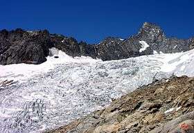
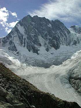
 Aiguille du Triolet from the Pré de Bar glacier | |
| Highest point | |
| Elevation | 3,870 m (12,700 ft) |
| Prominence | 301 metres (988 ft) |
| Coordinates | 45°54′59″N 7°01′28″E / 45.91639°N 7.02444°ECoordinates: 45°54′59″N 7°01′28″E / 45.91639°N 7.02444°E |
| Geography | |
| Parent range | Mont Blanc massif |
| Geology | |
| Mountain type | Granite |
| Climbing | |
| First ascent | 26 August 1874 by J. A. G. Marshall, U. Almer and J. Fischer |
| Easiest route | via the Glacier du Talefre and the Col de Triolet, PD |
The Aiguille de Triolet (3,870 metres (12,697 ft)) is a mountain in the Mont Blanc massif in France and Italy.
External links
This article is issued from Wikipedia - version of the 5/23/2016. The text is available under the Creative Commons Attribution/Share Alike but additional terms may apply for the media files.


