Alzou (Ouysse)
| Alzou | |
|---|---|
 The GR65 hiking path winds its way alongside the Alzou. | |
| Country | France |
| Basin | |
| River mouth |
Ouysse 44°47′57″N 1°33′36″E / 44.79917°N 1.56000°ECoordinates: 44°47′57″N 1°33′36″E / 44.79917°N 1.56000°E |
| Progression | Ouysse→ Dordogne→ Atlantic Ocean |
| Physical characteristics | |
| Length | 31 km (19 mi) |
The Alzou is a short river in the Lot département, southern France, a right tributary of the Ouysse. It flows through the town Rocamadour, and joins the Ouysse, itself a left tributary of the Dordogne, downstream of Rocamadour. The valleys of both the Alzou and the Ouysse are deep limestone canyons.
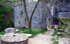
Ruins of the moulin du Saut.
The river once powered the watermill moulin du Saut, whose ruins can be visited on foot.
-
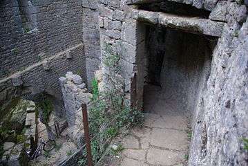
Inside the moulin du Saut.
-
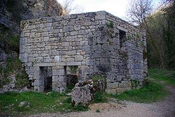
An outbuilding of the moulin du Saut.
-
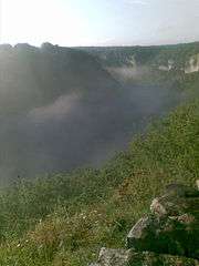
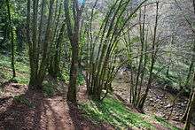
View over the Alzou valley.
References
| Wikimedia Commons has media related to Alzou (Ouysse). |
This article is issued from Wikipedia - version of the 4/13/2016. The text is available under the Creative Commons Attribution/Share Alike but additional terms may apply for the media files.