Anahim Lake Airport
| Anahim Lake Airport | |||||||||||
|---|---|---|---|---|---|---|---|---|---|---|---|
| IATA: YAA – ICAO: none – TC LID: CAJ4 | |||||||||||
| Summary | |||||||||||
| Airport type | Public | ||||||||||
| Operator | Cariboo Regional District | ||||||||||
| Location | Anahim Lake, British Columbia | ||||||||||
| Time zone | PST (UTC−08:00) | ||||||||||
| • Summer (DST) | PDT (UTC−07:00) | ||||||||||
| Elevation AMSL | 3,639 ft / 1,109 m | ||||||||||
| Coordinates | 52°27′08″N 125°18′16″W / 52.45222°N 125.30444°WCoordinates: 52°27′08″N 125°18′16″W / 52.45222°N 125.30444°W | ||||||||||
| Map | |||||||||||
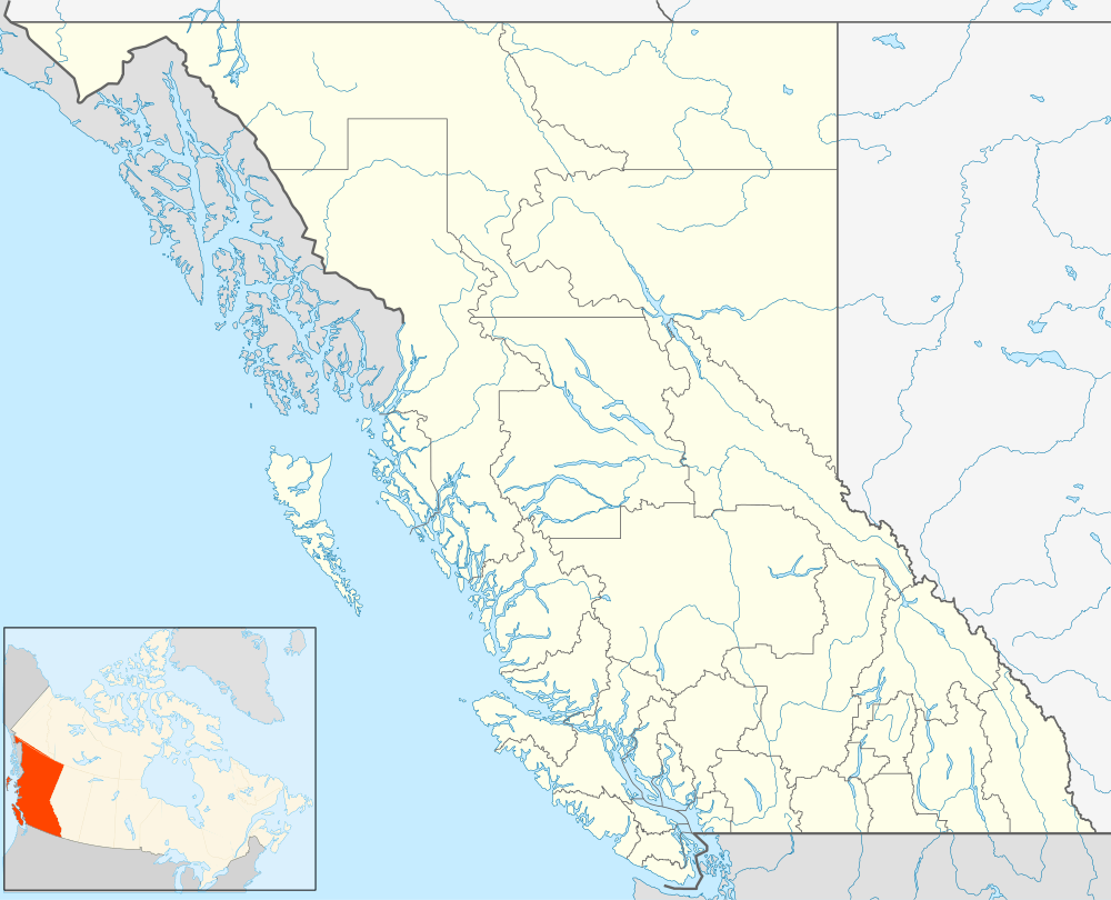
 CAJ4 Location in British Columbia | |||||||||||
| Runways | |||||||||||
| |||||||||||
|
Source: Canada Flight Supplement[1] | |||||||||||
Anahim Lake Airport, (IATA: YAA, TC LID: CAJ4), is located 1 nautical mile (1.9 km; 1.2 mi) south of Anahim Lake, British Columbia, Canada. It is a year-round airport serving the West Chilcotin area,[2] operated by Cariboo Regional District.[3]
The airport has a 4,642 ft (1,415 m)[1] paved strip and airport services for those who own or operate their own aircraft.[4]
Airlines and destinations
| Airlines | Destinations |
|---|---|
| Pacific Coastal Airlines | Vancouver[5] |
References
- 1 2 Canada Flight Supplement. Effective 0901Z 15 September 2016 to 0901Z 10 November 2016
- ↑ Anahim Lake - Tweedsmuir Provincial Park - Highway 20 - Williams Lake to Bella Coola - BC Outdoor Adventure
- ↑ Transport Canada - Pacific Region - Anahim Lake Airport Archived December 3, 2007, at the Wayback Machine.
- ↑ Transportation Information for Nimpo Lake and Anahim Lake, British Columbia Canada
- ↑ "Anahim Lake". Pacific Coastal Airlines. Retrieved 2015-02-23.
This article is issued from Wikipedia - version of the 12/4/2016. The text is available under the Creative Commons Attribution/Share Alike but additional terms may apply for the media files.