Apachita (Pando)
This article is about the mountain in the José Manuel Pando Province, La Paz Department, Bolivia. For other uses, see Apachita.
| Apachita | |
|---|---|
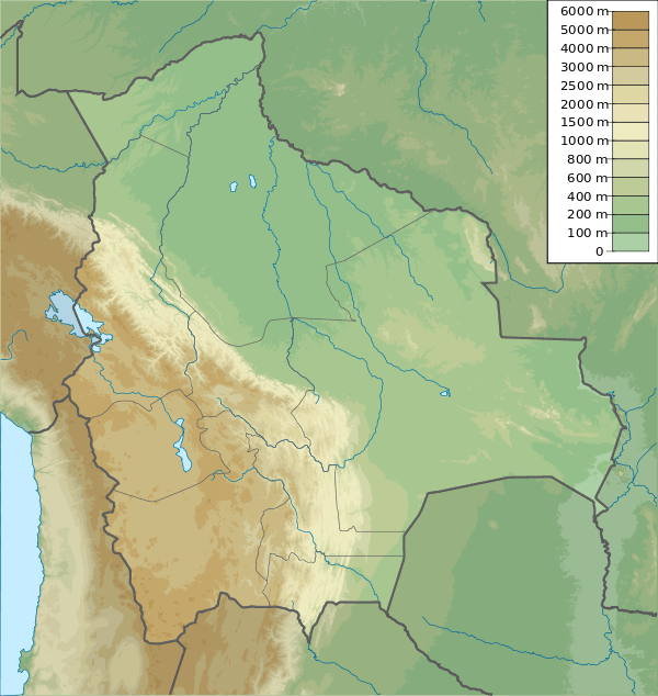
 Apachita Location in Bolivia | |
| Highest point | |
| Elevation | 4,800 m (15,700 ft) [1] |
| Coordinates | 17°18′22″S 69°24′04″W / 17.30611°S 69.40111°WCoordinates: 17°18′22″S 69°24′04″W / 17.30611°S 69.40111°W |
| Geography | |
| Location |
Bolivia, La Paz Department José Manuel Pando Province |
| Parent range | Andes |
Apachita (Aymara for the place of transit of an important pass in the principal routes of the Andes; name for a stone cairn in the Andes, a little pile of rocks built along the trail in the high mountains,[2][3] hispanicized spelling Apacheta) is a mountain in the Andes of Bolivia, about 4,800 metres (15,748 ft) high. It is situated in the La Paz Department, José Manuel Pando Province, Catacora Municipality. Apachita lies south of the mountain Wila Qullu, north-west of Ch'iyar Jaqhi and south-east of Laram Q'awa and Chuqiwa Qullu (Chuquivakkollu).[1][4]
References
- 1 2 Bolivian IGM map 1:50,000 Sinejavi 5742-III
- ↑ http://www.illa-a.org/cd/diccionarios/DicAymaraMinEduPeru.odt (Aymara-Spanish dictionary)
- ↑ Teofilo Laime Ajacopa, Diccionario Bilingüe Iskay simipi yuyayk'ancha, La Paz, 2007 (Quechua-Spanish dictionary)
- ↑ "Catacora". INE, Bolivia. Retrieved November 7, 2014.
This article is issued from Wikipedia - version of the 4/25/2016. The text is available under the Creative Commons Attribution/Share Alike but additional terms may apply for the media files.
