Avalonia

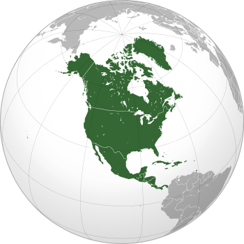
US: United States; CT: Connecticut; MA: Massachusetts; NH: New Hampshire; ME: Maine; RI: Rhode-Island
CA: Canada; NB: New Brunswick; NFL: Newfoundland; NS: Nova-Scotia; PE: Prince Edward Island
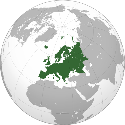
Europe: IE: Ireland; UK: United Kingdom; FR: France; BE: Belgium; NL: Netherlands; DE: Germany; PL: Poland
Avalonia was a microcontinent in the Paleozoic era. Crustal fragments of this former microcontinent underlie south-west Great Britain, and the eastern coast of North America. It is the source of many of the older rocks of Western Europe, Atlantic Canada, and parts of the coastal United States. Avalonia is named for the Avalon Peninsula in Newfoundland.
Avalonia developed as a volcanic arc on the northern margin of Gondwana. It eventually rifted off, becoming a drifting microcontinent. The Rheic Ocean formed behind it, and the Iapetus Ocean shrank in front. It collided with the continents Baltica, then Laurentia, and finally with Gondwana, ending up in the interior of Pangea. When Pangea broke up, Avalonia's remains were divided by the rift which became the Atlantic Ocean.
Development


The early development of Avalonia is believed to have been in volcanic arcs near a subduction zone on the margin of Gondwana.[1] Some material may have accreted from volcanic island arcs which formed further out in the ocean and later collided with Gondwana as a result of plate tectonic movements. The igneous activity had started by 730 million years ago and continued until around 570 million years ago, in the late Neoproterozoic.[2]
In the early Cambrian, the supercontinent Pannotia broke up and Avalonia drifted off northwards from Gondwana. This independent movement of Avalonia started from a latitude of about 60° South. The eastern end of Avalonia collided with Baltica, a continental plate occupying the latitudes from about 30°S to 55°S, as Baltica slowly rotated counterclockwise towards it. This happened at the end of the Ordovician and during the early Silurian.
In the late Silurian and lower Devonian, the combined Baltica and Avalonia collided progressively, with Laurentia, beginning with the long extremity of Avalonia which is now attached to the USA and Canada. The result of this was the formation of Euramerica. At the completion of this stage, the site of Britain was at 30°S and Nova Scotia at about 45°S. This collision is represented by the Caledonian folding or in North America as an early phase in the Acadian orogeny.
In the Permian, the new continent and another terrane, Armorica which included Iberia, drifted in from Gondwana, trapping Avalonia between it and the continent so adding Iberia/Armorica to Euramerica. This was followed up by the arrival of Gondwana. The effects of these collisions are seen in Europe as the Variscan folding. In North America it shows as later phases of the Acadian orogeny. This was happening at around the Equator during the later Carboniferous, forming Pangaea with Avalonia near its centre but partially flooded by shallow sea.
In the Jurassic, Pangaea split into Laurasia and Gondwana, with Avalonia as part of Laurasia. In the Cretaceous, Laurasia broke up into North America and Eurasia with Avalonia split between them.
Iberia was later rotated away again as the African part of Gondwana strike-slipped past it. This last movement caused the Alpine orogeny including the raising of the Pyrenees during the Miocene and Pliocene. As a result of this, part of Avalonia is now to be found on each side of the Straits of Gibraltar.
Consequences

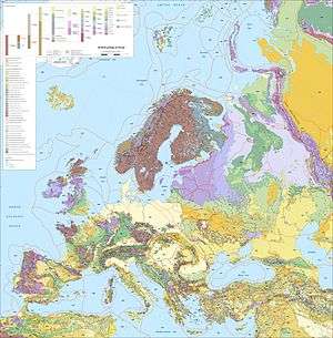
The Avalonian part of Great Britain almost exactly coincides with England and Wales. Elsewhere in Europe, parts of Avalonia are found in the Ardennes of Belgium and north-eastern France, north Germany, north-western Poland, south-eastern Ireland, and the south-western edge of the Iberian Peninsula.
Part of the British-Belgian section formed an island in the Carboniferous, affecting the disposition of coalfields; this is known by names such as the 'London-Brabant Island'. Its bulk had an effect on the geological structure between the Ardennes and the English Midlands by influencing the subsequent crustal folding resulting from the Variscan collision.
In Canada, Avalonia comprises the Avalon Peninsula of southeast Newfoundland, southern New Brunswick, part of Nova Scotia, and Prince Edward Island. In the United States, Avalonia consists of northern coastal Maine, all of Rhode Island, and other sections of coastal New England.
See also
References
- ↑ Murphy, J. B.; Pisarevsky, S. A.; Nance, R. D.; Keppie, J. D. (2001). Jessell, M. J., ed. "Animated history of Avalonia in Neoproterozoic - Early Proterozoic" (PDF). General Contributions. Journal of the Virtual Explorer. 3: 45–58. Retrieved November 2015. Check date values in:
|access-date=(help) - ↑ Strachan, R. A. (2000). "Late Neoproterozoic to Cambrian accretionary history of Eastern Avalonia and Armorica on the active margin of Gondwana". In Woodcock, N. H.; Strachan, R. A. Geological History of Britain and Ireland. Blackwell. pp. 127–139. Retrieved November 2015. Check date values in:
|access-date=(help)
External links
- Map showing Avalonia in the Ordovician Period
- McNamara, A. K.; Mac Niocaill, C.; van der Pluijm, B. A.; Van der Voo, R. (2001). "West African proximity of the Avalon terrane in the latest Precambrian" (PDF). Geological Society of America Bulletin. 113 (9): 1161–1170. doi:10.1130/0016-7606(2001)113<1161:WAPOTA>2.0.CO;2. Retrieved November 2015. Check date values in:
|access-date=(help)

.svg.png)
.svg.png)
.svg.png)
.svg.png)


.svg.png)
.svg.png)
.svg.png)
.svg.png)
.svg.png)