Bagame
| Bagame | |
|---|---|
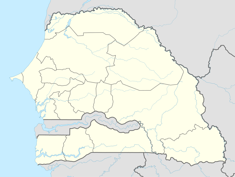 Bagame Location in Senegal | |
| Coordinates: 12°24′37″N 16°18′58″W / 12.41028°N 16.31611°WCoordinates: 12°24′37″N 16°18′58″W / 12.41028°N 16.31611°W | |
| Country |
|
| Region | Ziguinchor |
| Department | Ziguinchor |
| Arrondissement | Nyassia |
| Rural community | Nyassia |
| Population (2002) | |
| • Total | 109 |
| Time zone | GMT (UTC+0) |
Bagame is a settlement in Ziguinchor Department in Ziguinchor Region in the Basse Casamance area of south-west Senegal, near the border with Guinea-Bissau[1] The population in the 2002 census was 109 people in 15 households. [2]
Climate
Bagame has a warm climate for relatively the entire year with the wet months occurring during the summer months and peaking in August.[3]
Resources
"Bagame Monthly Climate Average, Senegal." Bagame, Senegal Weather Averages. N.p., n.d. Web. 11 Dec. 2015.[3]
"Bagame Map — Satellite Images of Bagame." Bagame Map. N.p., 2005. Web. 11 Dec. 2015.[1]
References
- 1 2 "Bagame Map | Senegal Google Satellite Maps". www.maplandia.com. Retrieved 2015-12-11.
- ↑ "Communauté rurale de Niassia". PEPAM. Retrieved 19 November 2016.
- 1 2 "Bagame, Senegal Weather Averages | Monthly Average High and Low Temperature | Average Precipitation and Rainfall days | World Weather Online". www.worldweatheronline.com. https://www.google.com/+Worldweatheronline. Retrieved 2015-12-11. External link in
|publisher=(help)
External links
This article is issued from Wikipedia - version of the 11/19/2016. The text is available under the Creative Commons Attribution/Share Alike but additional terms may apply for the media files.