Bontnewydd, Ceredigion
| Bontnewydd | |
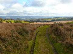 Mynydd Bach |
|
 Bontnewydd |
|
| Population | 100 |
|---|---|
| OS grid reference | SN617657 |
| – Cardiff | 90 mi (140 km) |
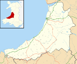
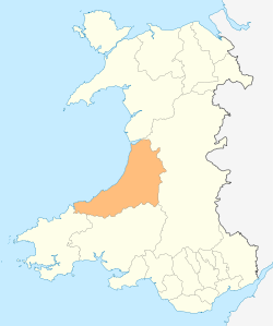
| Principal area | Ceredigion |
| Ceremonial county | Dyfed |
| Country | Wales |
| Sovereign state | United Kingdom |
| Post town | TREGARON |
| Postcode district | SY23 |
| Dialling code | 01974 |
| Police | Dyfed-Powys |
| Fire | Mid and West Wales |
| Ambulance | Welsh |
| EU Parliament | Wales |
|
|
Coordinates: 52°16′21″N 4°01′39″W / 52.272636°N 4.027386°W
Bontnewydd is a small village in Ceredigion between Tregaron and Aberystwyth near the village of Bronant. It is situated on the edge of the beautiful wild area of upland common called Mynydd Bach.
| Wikivoyage has a travel guide for Aberystwyth. |
References
This article is issued from Wikipedia - version of the 10/20/2016. The text is available under the Creative Commons Attribution/Share Alike but additional terms may apply for the media files.