Boysun
| Boysun | |
|---|---|
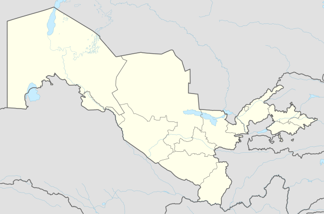
 Boysun Location in Uzbekistan | |
| Coordinates: 38°12′N 67°12′E / 38.200°N 67.200°E | |
| Country |
|
| Region | Surxondaryo Region |
| District | Boysun District |
| Elevation | 1,217 m (3,993 ft) |
| Population (2012 estimate)[1] | |
| • Total | 26,934 |
Boysun (also spelt Baysun, Bajsun or Baisun) is a town in Surxondaryo Region, Uzbekistan and capital of Boysun District. The population as of the 1989 census was 16,700; an estimate for 2012 puts the population at 26,309.[1]
Geography
Boysun lies in a valley running through a hilly region and overlooked by the Boysuntoq Ridge of the Gissar Range, which rises to 3,100 metres (10,200 ft) here and as even higher to the west. The landscape is dramatic but arid, and varies from grassy areas to exposed rock.
Climate
Boysun has a cool desert climate (Köppen climate classification BWk), with cold winters and hot summers. Rainfall is generally light and erratic. Autumn is the wettest season, while summers are very dry.
| Climate data for Boysun | |||||||||||||
|---|---|---|---|---|---|---|---|---|---|---|---|---|---|
| Month | Jan | Feb | Mar | Apr | May | Jun | Jul | Aug | Sep | Oct | Nov | Dec | Year |
| Daily mean °C (°F) | 1.3 (34.3) |
2.3 (36.1) |
7.2 (45) |
13.1 (55.6) |
17.9 (64.2) |
23.2 (73.8) |
25.2 (77.4) |
23.5 (74.3) |
18.4 (65.1) |
12.3 (54.1) |
7.6 (45.7) |
3.9 (39) |
12.99 (55.38) |
| Average precipitation mm (inches) | 13 (0.51) |
10 (0.39) |
19 (0.75) |
22 (0.87) |
14 (0.55) |
4 (0.16) |
4 (0.16) |
3 (0.12) |
3 (0.12) |
10 (0.39) |
10 (0.39) |
13 (0.51) |
125 (4.92) |
| Average relative humidity (%) | 77 | 73 | 67 | 57 | 49 | 47 | 48 | 51 | 54 | 59 | 69 | 77 | 60.7 |
| Mean monthly sunshine hours | 116.6 | 142.3 | 168.8 | 220.8 | 318.8 | 360.6 | 374.1 | 356.0 | 287.6 | 219.2 | 151.2 | 101.9 | 2,817.9 |
| Source: NOAA (1961-1990)[2] | |||||||||||||
Transportation
The main road through the town is Route P-105. This connects with the M39 to the west near Shorab, leading to Dehkanabad, G'uzor, Shahrisabz and Samarkand further north, and to Akkurgon and Termez further south. To the east, P-105 connects to Surci and Kumkurgon.
World Heritage Status
This site was added to the UNESCO World Heritage Tentative List on 18 January 2008 in the Mixed (Cultural and Natural) category.[3]
References
- 1 2 "Uzbekistan - largest cities". World Gazeteer. Retrieved 10 February 2013.
- ↑ "Climate Normals for Bajsun". National Oceanic and Atmospheric Administration. Retrieved 10 February 2013.
- ↑ "Boysun". UNESCO World Heritage Centre. Retrieved 10 February 2013.
Coordinates: 38°12′N 67°12′E / 38.200°N 67.200°E