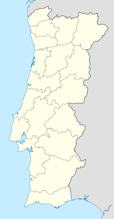
Campolide
| Campolide | ||
|---|---|---|
| Parish | ||
|
Campolide railway station | ||
| ||
 Campolide | ||
| Coordinates: 38°43′37″N 9°09′43″W / 38.727°N 9.162°WCoordinates: 38°43′37″N 9°09′43″W / 38.727°N 9.162°W | ||
| Country | Portugal | |
| Region | Lisbon | |
| Subregion | Grande Lisboa | |
| Metropolitan area | Lisbon | |
| District | Lisbon | |
| Municipality | Lisbon | |
| Area | ||
| • Total | 2.77 km2 (1.07 sq mi) | |
| Population (2011) | ||
| • Total | 15,460 | |
| • Density | 5,600/km2 (14,000/sq mi) | |
| Website | http://www.jfcampolide.com/ | |
| Wikimedia Commons has media related to Campolide. |
Campolide is a Portuguese civil parish (freguesia) in the municipality of Lisbon. It was created on February 7, 1959. The population in 2011 was 15,460,[1] in an area of 2.77 km².[2]
Campolide was the site of a major battle on 5 September 1833, when the forces of Dom Miguel attacked those of Dom Pedro, as Pedro attempted to wrest back control of Portugal from his brother.[3]
Panorama

Panorama a partir de do Aqueduto das Águas Livres.
Main sites
References
- ↑ Instituto Nacional de Estatística (INE), Census 2011 results according to the 2013 administrative division of Portugal
- ↑ Direção-Geral do Território
- ↑ Neill Macaulay, Dom Pedro. The Struggle for Liberty in Brazil and Portugal, 1798-1834 (Durham: Duke University Press, 1986), p. 292
This article is issued from Wikipedia - version of the 11/13/2016. The text is available under the Creative Commons Attribution/Share Alike but additional terms may apply for the media files.
