Carrville
Coordinates: 54°47′20″N 1°31′26″W / 54.789°N 1.524°W
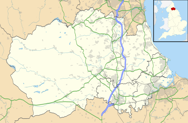
Carrville is a village in County Durham, in England. It is situated a short distance to the east of Durham, near to Moor End and Belmont. Carrville is part of the Belmont parish.
Transport
Carrville is situated close proximity to the A1 and the A690. Enabling direct access by car to all the big North East city's including Sunderland and Newcastle. Local bus services include the 220 and X21 Local taxi services are available 24/7
References
External links
| Wikimedia Commons has media related to Carrville. |
This article is issued from Wikipedia - version of the 5/22/2015. The text is available under the Creative Commons Attribution/Share Alike but additional terms may apply for the media files.
