Cerro Potosí
| Cerro El Potosí | |
|---|---|
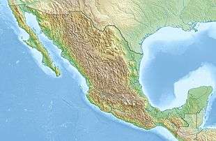
 Cerro El Potosí Location in Mexico | |
| Highest point | |
| Elevation | 3,721 m (12,208 ft) [1] |
| Prominence | 1,876 m (6,155 ft) [1] |
| Listing | |
| Coordinates | 24°52′18″N 100°13′57″W / 24.87167°N 100.23250°WCoordinates: 24°52′18″N 100°13′57″W / 24.87167°N 100.23250°W [1] |
| Geography | |
| Location | Galeana, Nuevo León, Mexico |
| Parent range | Sierra Madre Oriental |
| Climbing | |
| Easiest route | road |
- For the mountain in Bolivia, see Cerro Rico.
Cerro El Potosí is the highest mountain in the Sierra Madre Oriental mountain range of northeast Mexico. It is located in the state of Nuevo León, about 80 km (50 mi) south of Monterrey.
It is composed of limestone, and is noted for its very diverse flora including several endemic or near-endemic species, such as the Potosi Pinyon.
Access was very difficult in the past, but in the 1960s a microwave relay station was built on the summit, with the road built for this providing easy access from the east.
See also
References
- 1 2 3 "Mexico Ultras" See footnote 14. Peaklist.org. Retrieved 2012-10-18.
External links
This article is issued from Wikipedia - version of the 1/16/2016. The text is available under the Creative Commons Attribution/Share Alike but additional terms may apply for the media files.