Ch'alla Willk'i (La Paz)
This article is about the mountain in the La Paz Department, Bolivia. For other uses, see Ch'alla Willk'i.
| Ch'alla Willk'i | |
|---|---|
 Ch'alla Willk'i | |
| Highest point | |
| Elevation | 4,940 m (16,210 ft) [1] |
| Coordinates | 16°11′03″S 68°10′21″W / 16.18417°S 68.17250°WCoordinates: 16°11′03″S 68°10′21″W / 16.18417°S 68.17250°W |
| Geography | |
| Location |
Bolivia La Paz Department |
| Parent range | Andes |
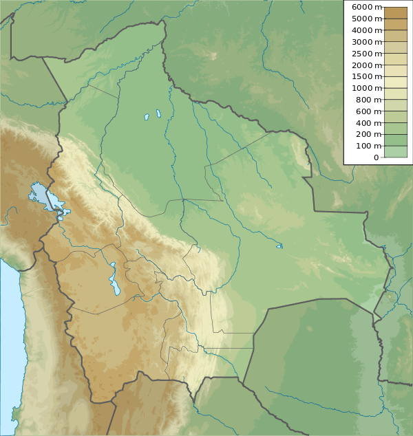
Ch'alla Willk'i (Aymara ch'alla sand, willk'i gap,[2] "sand gap", also spelled Challa Willkhi, Challo Willi)[1][3] is a mountain in the Bolivian Andes, about 4,940 m (16,210 ft) high. It is situated in the La Paz Department, Murillo Province, La Paz Municipality, east of the main range of the Cordillera Real. Ch'alla Willk'i lies between Kunturiri in the southwest and Llust'a in the northeast, and northwest of Turini. A little river named Ch'iyar Jawira ("black river", Chias Jahuira) originates near the mountain. It flows to the northeast.[1][4]
References
- 1 2 3 Bolivian IGM map 1:50,000 5945-II sheet Milluni
- ↑ Radio San Gabriel, "Instituto Radiofonico de Promoción Aymara" (IRPA) 1993, Republicado por Instituto de las Lenguas y Literaturas Andinas-Amazónicas (ILLLA-A) 2011, Transcripción del Vocabulario de la Lengua Aymara, P. Ludovico Bertonio 1612 (Spanish-Aymara-Aymara-Spanish dictionary)
- ↑ Bolivian IGM map 1:100,000 La Paz (Norte) 3238-I
- ↑ "La Paz". INE, Bolivia. Retrieved November 18, 2014. (unnamed)
This article is issued from Wikipedia - version of the 4/12/2016. The text is available under the Creative Commons Attribution/Share Alike but additional terms may apply for the media files.