Cobb Power Station
| Cobb Power Station | |
|---|---|
 Cobb Power Station, with penstock visible behind it | |
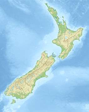
 Location of Cobb Power Station in New Zealand | |
| Country | New Zealand |
| Location | Tasman |
| Coordinates | 41°6′13″S 172°41′16″E / 41.10361°S 172.68778°ECoordinates: 41°6′13″S 172°41′16″E / 41.10361°S 172.68778°E |
| Status | Operational |
| Commission date | 1956 |
| Owner(s) | TrustPower |
| Thermal power station | |
| Type | Hydroelectric |
| Power generation | |
| Units operational | 6 |
| Nameplate capacity | 32 MW (43,000 hp) |
The Cobb Power Station is a hydroelectric facility on the Cobb River, 112 kilometres (70 mi) northwest of Nelson, New Zealand. Since 2003, it has been owned and operated by TrustPower. Annual generation is approximately 190 gigawatt-hours (680 TJ).[1]
It is fed by the Cobb Reservoir and has a head of 596 metres (1,955 ft), the highest of any power station in New Zealand.[2] From the reservoir, a 2.6 kilometres (1.6 mi) long tunnel leads through the Cobb Range to the penstocks.[2] The water flow is channelled via two 4 kilometres (2.5 mi) long penstocks and the height difference between the intake and the power station results in a high pressure water flow of 7.25 m³/s to feed the six Pelton turbines.[3]
Cobb Power Station can be reached from Upper Takaka via a sealed but windy and narrow 28 kilometres (17 mi) road along Takaka River. The power station building is situated at the edge of Kahurangi National Park, with the reservoir located entirely within the national park.
See also
References
- ↑ "Cobb Power Station". TrustPower. Retrieved 2015-12-03.
- 1 2 "Cobb Valley". Department of Conservation NZ. Retrieved 2015-12-03.
- ↑ "IPENZ Engineering Heritage". IPENZ. Retrieved 2015-12-03.
Further reading
| Wikimedia Commons has media related to Cobb Power Station. |
- Martin, John E, ed. (1991). People, Power and Power Stations. Wellington: Bridget Williams Books Ltd and Electricity Corporation of New Zealand. pp. 316 pages. ISBN 0-908912-16-1.
- Reilly, Helen (2008). Connecting the Country – New Zealand’s National Grid 1886 - 2007. Wellington: Steele Roberts. pp. 376 pages. ISBN 978-1-877448-40-9.