Corn da Tinizong
| Corn da Tinizong | |
|---|---|
| Tinzenhorn | |
 Piz Mitgel (left) and Corn da Tinizong (right) | |
| Highest point | |
| Elevation | 3,173 m (10,410 ft) |
| Prominence | 473 m (1,552 ft) [1] |
| Isolation | 3 kilometres (1.9 mi) |
| Parent peak | Piz Calderas |
| Coordinates | 46°36′41.3″N 9°40′16.1″E / 46.611472°N 9.671139°ECoordinates: 46°36′41.3″N 9°40′16.1″E / 46.611472°N 9.671139°E |
| Geography | |
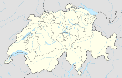 Corn da Tinizong Location in Switzerland | |
| Location | Graubünden, Switzerland |
| Parent range | Albula Range |
The Corn da Tinizong (also known as Tinzenhorn) is a mountain of the Albula Alps, located between Savognin and Bergün, in the Swiss canton of Graubünden. Its large southern face overlooks the Pass digls Orgels.
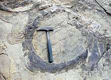
Footprint of dinosaur on Corn da Tinizong
References
External links
| Wikimedia Commons has media related to Tinzenhorn. |
This article is issued from Wikipedia - version of the 5/8/2016. The text is available under the Creative Commons Attribution/Share Alike but additional terms may apply for the media files.