Covill, Minnesota
| Covill, Minnesota | |
|---|---|
| extinct town | |
 Covill, Minnesota | |
| Coordinates: 47°47′43″N 90°09′38″W / 47.79528°N 90.16056°WCoordinates: 47°47′43″N 90°09′38″W / 47.79528°N 90.16056°W | |
| Country | United States |
| State | Minnesota |
| County | Cook |
| Elevation | 692 ft (211 m) |
| Time zone | Central (CST) (UTC-6) |
| • Summer (DST) | CDT (UTC-5) |
| Area code(s) | 218 |
| GNIS feature ID | 659211[1] |
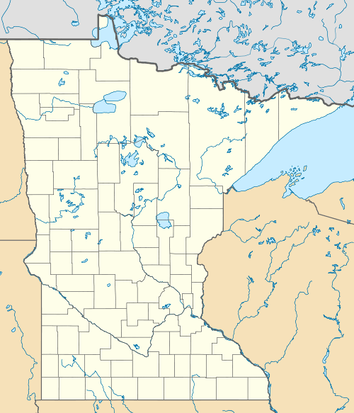
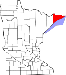
Covill is an abandoned townsite in Cook County, Minnesota, United States.
The community was located between Grand Marais and Grand Portage on Minnesota Highway 61.
Covill was located 9 miles northeast of Grand Marais; and 25 miles southwest of Grand Portage.
Kodonce River State Wayside area is located near the abandoned townsite of Covill.
History
Covill was named after Colonel William J. Colvill, who for a time lived on a homestead in the community.
Covill Township of Cook County was established in 1906; and the township was abandoned during the Great Depression of the 1930s.
References
- ↑ "US Board on Geographic Names". United States Geological Survey. 2007-10-25. Retrieved 2008-01-31.
This article is issued from Wikipedia - version of the 10/21/2016. The text is available under the Creative Commons Attribution/Share Alike but additional terms may apply for the media files.
