Cumaru
For the Amazonian tree, see Dipteryx odorata.
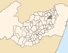
Location of Cumaru within Pernambuco.
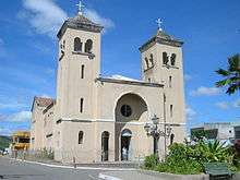
Cumaru main Church
Cumaru is a city in the state of Pernambuco, Brazil. It is 132 km away from the state capital Recife, and has an estimated (Ibge 2009) population of 13.812 inhabitants.
Geography
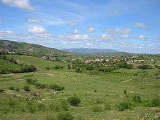
Rural area view of Cumaru
- State - Pernambuco
- Region - Agreste Pernambucano
- Boundaries - Surubim (N); Bezerros (S); Passira (E); Riacho das Almas (W).
- Area - 292.24 km2
- Elevation - 443 m
- Hidrography - Capibaribe River
- Vegetation - Caatinga hipoxerófila
- Clima - Semi arid hot
- Annual average temperature - 25.0 c
- Distance to Recife - 132 km
Economy
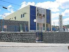
Municipal Hotel
The main economic activities in Cumaru are based in agribusiness, especially beans, corn; and livestock such as cattle, sheep, goats, pigs and poultry.
Economic indicators
| Population[1] | GDP x(1000 R$).[2] | GDP pc (R$) | PE |
|---|---|---|---|
| 13.812 | 52.455 | 3.201 | 0.09% |
Economy by Sector 2006
| Primary sector | Secondary sector | Service sector |
|---|---|---|
| 7.41% | 8.39% | 84.20% |
Health indicators
| HDI (2000) | Hospitals (2007) | Hospitals beds (2007) | Children's Mortality every 1000 (2005) |
|---|---|---|---|
| 0.575 | 1 | 31 | 49.7 |
References
- ↑ http://www.ibge.gov.br/home/estatistica/populacao/estimativa2009/POP2009_DOU.pdfIBGE Population 2009 Cumaru, page 32]
- ↑ Cumaru 2007 GDP IBGE page 29 Archived March 4, 2016, at the Wayback Machine.
- ↑ PE State site - City by city profile
| Wikimedia Commons has media related to Cumaru. |
Coordinates: 8°00′21″S 35°41′49″W / 8.00583°S 35.69694°W
This article is issued from Wikipedia - version of the 12/3/2016. The text is available under the Creative Commons Attribution/Share Alike but additional terms may apply for the media files.