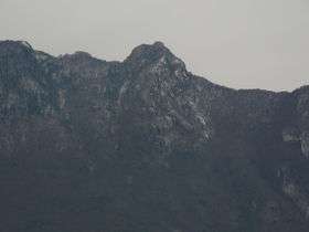
Dent du Chat
| Dent du Chat | |
|---|---|
 | |
| Highest point | |
| Elevation | 1,390 m (4,560 ft) |
| Coordinates | 45°40′28″N 05°50′04″E / 45.67444°N 5.83444°ECoordinates: 45°40′28″N 05°50′04″E / 45.67444°N 5.83444°E |
| Geography | |
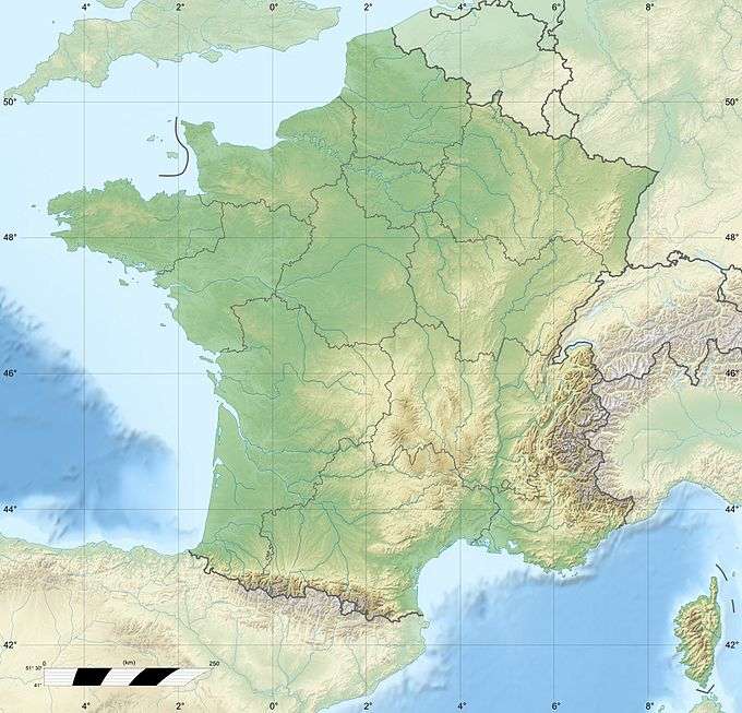 Dent du Chat France | |
| Location | Savoie, France |
| Parent range | Jura |
Dent du Chat (cat's tooth) is a mountain of Savoie, France. It lies in the Jura range. It has an elevation of 1,390 metres above sea level.
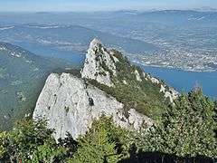
View of dent du Chat from Molard Noir mountain, with lac du Bourget and Aix-les-Bains in the background.
This article is issued from Wikipedia - version of the 12/6/2015. The text is available under the Creative Commons Attribution/Share Alike but additional terms may apply for the media files.