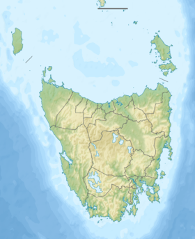
Emu Bay (Tasmanian geographic feature)
| Emu Bay | |
|---|---|
 Emu Bay in the distance, with Burne Port in the foreground. | |
 Emu Bay Location in Tasmania | |
| Location | North West Tasmania |
| Coordinates | 41°03′49″S 145°52′31″E / 41.06361°S 145.87528°ECoordinates: 41°03′49″S 145°52′31″E / 41.06361°S 145.87528°E |
| Type | Embayment |
| River sources | Blythe River |
| Primary outflows | Bass Strait |
| Settlements | Burnie |
Emu Bay is a bay on the north-western coast of Tasmania, Australia.
The bay is fed by the Blythe River and empties into Bass Strait.[1] The bay is adjacent to the city of Burnie, Tasmania, which was also originally named Emu Bay but later renamed for William Burnie a director of the Van Diemen's Land Company in the early 1840s.
See also
References
- ↑ "Map of Blythe River, TAS". Bonzle Digital Atlas of Australia. 2015. Retrieved 30 June 2015.
This article is issued from Wikipedia - version of the 6/27/2016. The text is available under the Creative Commons Attribution/Share Alike but additional terms may apply for the media files.