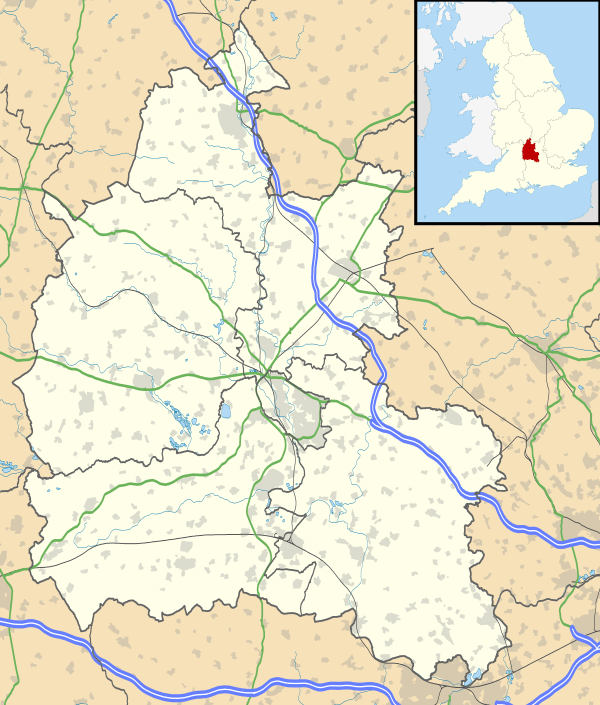
Fawler
Coordinates: 51°51′22″N 1°27′58″W / 51.856°N 1.466°W
Fawler is a hamlet and civil parish in the valley of the River Evenlode, 1.5 miles (2.4 km) southeast of Charlbury in Oxfordshire, England.
There are traces of a Roman villa at Oatlands Farm.[2] The manor house was built in 1660.[2]
Finstock railway station on the Cotswold Line is actually closer to Fawler.
References
- ↑ "Area selected: West Oxfordshire (Non-Metropolitan District)". Neighbourhood Statistics: Full Dataset View. Office for National Statistics. Retrieved 11 January 2011.
- 1 2 Sherwood & Pevsner, 1974, page 605
Sources
- Sherwood, Jennifer; Pevsner, Nikolaus (1974). Oxfordshire. The Buildings of England. Harmondsworth: Penguin Books. p. 605. ISBN 0-14-071045-0.
This article is issued from Wikipedia - version of the 1/23/2016. The text is available under the Creative Commons Attribution/Share Alike but additional terms may apply for the media files.

