Geometric Centre of Slovenia
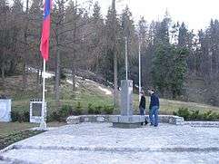
Monument marking the Geometric Centre of Slovenia
Geometric Centre of Slovenia
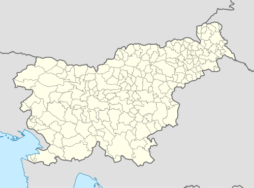
The Geometric Centre of Slovenia (Slovene: Geometrično središče Slovenije, GEOSS) is the geometric centre of the country. Its geographic coordinates are 46°07′11.8″N 14°48′55.2″E / 46.119944°N 14.815333°ECoordinates: 46°07′11.8″N 14°48′55.2″E / 46.119944°N 14.815333°E and its elevation is 644.842 m.[1] It lies in the hamlet of Spodnja Slivna near Vače in the Municipality of Litija. Since 4 July 1982,[2] it has been marked with a memorial stone designed by the architect Marjan Božič. A plaque reading Živimo in gospodarimo na svoji zemlji ('We live and prosper upon our land') was added on 14 September 1989.[2] In 2003, Slovenia adopted an act on GEOSS.
References
External links
| Wikimedia Commons has media related to Geometric Centre of Slovenia. |
- GEOSS homepage
- Virtual panoramas, maps and aerial photography of the location
- Point GEOSS (Local Landmark). Map and description. Pespoti.si. (Slovene)

This article is issued from Wikipedia - version of the 9/14/2015. The text is available under the Creative Commons Attribution/Share Alike but additional terms may apply for the media files.