Good Hope Lake
| Good Hope Lake | |
|---|---|
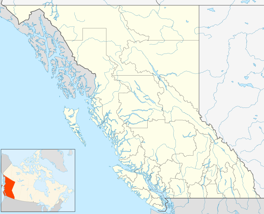
 Good Hope Lake Location of Good Hope Lake in British Columbia | |
| Coordinates: 59°16′55″N 129°18′10″W / 59.28194°N 129.30278°WCoordinates: 59°16′55″N 129°18′10″W / 59.28194°N 129.30278°W | |
| Country |
|
| Province |
|
| Area code(s) | 250, 778 |
Good Hope Lake is a First Nations community in northwestern British Columbia, Canada, located on Highway 37 not far south of the border with the Yukon and located east of the semi-abandoned mining town of Cassiar, British Columbia. As of the 2006 Census, there are 41 people living in Good Hope Lake, down from 75 in 2001. The band government of the Dease River First Nation is located in Good Hope Lake, and is a member government of the Kaska Tribal Council.
See also
References
This article is issued from Wikipedia - version of the 12/22/2014. The text is available under the Creative Commons Attribution/Share Alike but additional terms may apply for the media files.