Gyékényes
| Gyékényes | |
|---|---|
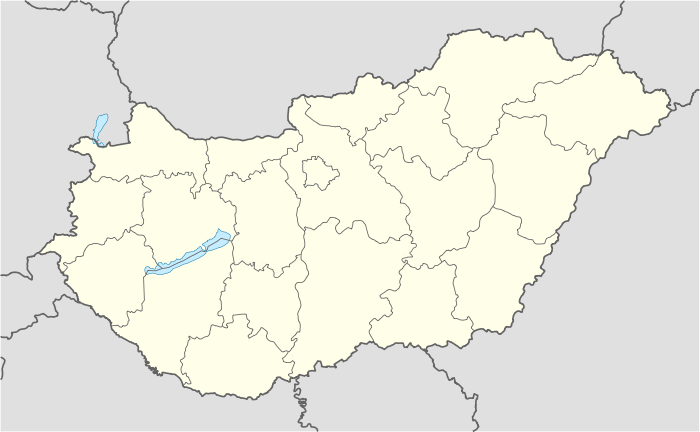 Gyékényes Location of Gyékényes | |
| Coordinates: 46°14′08″N 17°00′02″E / 46.23557°N 17.00063°ECoordinates: 46°14′08″N 17°00′02″E / 46.23557°N 17.00063°E | |
| Country |
|
| County | Somogy |
| Area | |
| • Total | 33.76 km2 (13.03 sq mi) |
| Population (2004) | |
| • Total | 1,068 |
| • Density | 31.63/km2 (81.9/sq mi) |
| Time zone | CET (UTC+1) |
| • Summer (DST) | CEST (UTC+2) |
| Postal code | 8851 |
| Area code(s) | 82 |
Gyékényes is a village in Somogy county, Hungary next to the border with Croatia.

Aerial photography of Gyékényes
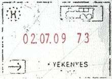
Passport stamp issued at the border with Croatia
External links
This article is issued from Wikipedia - version of the 2/6/2014. The text is available under the Creative Commons Attribution/Share Alike but additional terms may apply for the media files.