Heiterwang
| Heiterwang | ||
|---|---|---|
 | ||
| ||
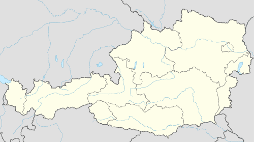 Heiterwang Location within Austria | ||
| Coordinates: 47°26′40″N 10°44′58″E / 47.44444°N 10.74944°ECoordinates: 47°26′40″N 10°44′58″E / 47.44444°N 10.74944°E | ||
| Country | Austria | |
| State | Tyrol | |
| District | Reutte | |
| Government | ||
| • Mayor | Beate Reichl | |
| Area | ||
| • Total | 35.73 km2 (13.80 sq mi) | |
| Elevation | 994 m (3,261 ft) | |
| Population (1 January 2016)[1] | ||
| • Total | 500 | |
| • Density | 14/km2 (36/sq mi) | |
| Time zone | CET (UTC+1) | |
| • Summer (DST) | CEST (UTC+2) | |
| Postal code | 6611 | |
| Area code | 05674 | |
| Vehicle registration | RE | |

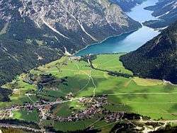
Heiterwang is a municipality in the district of Reutte in the Austrian state of Tyrol.
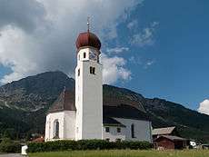
Pfarrkirche Unsere Liebe Frau Maria Himmelfahrt
Geography
Heiterwang lies south of Reutte on the Heiterwanger See, which is connected by canal to the Plansee.
References
External links
| Wikimedia Commons has media related to Heiterwang. |
This article is issued from Wikipedia - version of the 6/10/2016. The text is available under the Creative Commons Attribution/Share Alike but additional terms may apply for the media files.