Wisconsin Highway 162
| ||||
|---|---|---|---|---|
| Route information | ||||
| Maintained by WisDOT | ||||
| Length: | 46.03 mi[1] (74.08 km) | |||
| Major junctions | ||||
| South end: |
| |||
|
| ||||
| North end: |
| |||
| Location | ||||
| Counties: | Vernon, La Crosse, Monroe | |||
| Highway system | ||||
| ||||

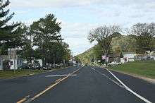
Southwestern terminus
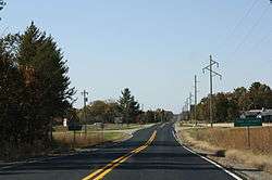
Northern terminus
State Trunk Highway 162 (often called Highway 162, STH 162 or WIS 162) is a state highway in the U.S. state of Wisconsin. It runs in north–south in southwest Wisconsin from Stoddard to Four Corners.
References
| Wikimedia Commons has media related to Wisconsin Highway 162. |
- ↑ Bessert, Chris. "Wisconsin Highways: Highways 160-169 (Highway 162)". Wisconsin Highways. Retrieved 2007-03-20.
This article is issued from Wikipedia - version of the 12/20/2013. The text is available under the Creative Commons Attribution/Share Alike but additional terms may apply for the media files.