Hollinwood, Shropshire
| Hollinwood | |
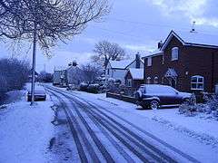 Hollinwood in snow |
|
 Hollinwood |
|
| OS grid reference | SJ521362 |
|---|---|
| Civil parish | Whixall |
| Unitary authority | Shropshire |
| Ceremonial county | Shropshire |
| Region | West Midlands |
| Country | England |
| Sovereign state | United Kingdom |
| Post town | WHITCHURCH |
| Postcode district | SY13 |
| Dialling code | 01948 |
| Police | West Mercia |
| Fire | Shropshire |
| Ambulance | West Midlands |
| EU Parliament | West Midlands |
| UK Parliament | North Shropshire |
|
|
Coordinates: 52°55′16″N 2°42′47″W / 52.921°N 2.713°W
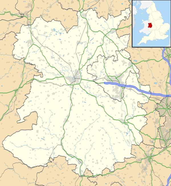
Hollinwood is a small village in Shropshire, England.
Hollinwood lies to the south of the town of Whitchurch and is about one mile from the border with Wales.
External links
| Wikimedia Commons has media related to Hollinwood, Shropshire. |
- Map sources for Hollinwood, Shropshire
| Unitary authorities | |
|---|---|
| Major settlements | |
| Rivers | |
| Canals | |
| Topics | |
This article is issued from Wikipedia - version of the 1/7/2016. The text is available under the Creative Commons Attribution/Share Alike but additional terms may apply for the media files.