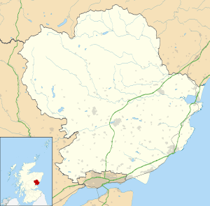
Inverpeffer
Coordinates: 56°31′53″N 2°39′13″W / 56.531399°N 2.653524°W
Inverpeffer was a hamlet that once existed in Angus, Scotland until around 1941, when it was demolished during the building of East Haven airfield.
It was on a return journey from Inverpeffer to Barry in 1797 that loomwright Thomas Lowson fell asleep in grassland belonging to Major William Phillips. Lowson, enamoured of the area, approached Phillips, securing a feu of land, and built the first house in the village that was to become Carnoustie.[1]
Today, a single building from the former hamlet remains.
References
- ↑ Dickson, R. (1892), Carnoustie and its Neighbourhood (revised ed.), Balgavies, Angus: Pinkfoot Press (2002 facsimile)
This article is issued from Wikipedia - version of the 1/24/2016. The text is available under the Creative Commons Attribution/Share Alike but additional terms may apply for the media files.
