Katepurna Dam
| Katepurna Dam | |
|---|---|
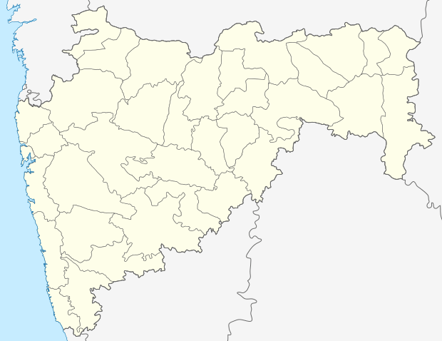 Location of Katepurna Dam in India Maharashtra | |
| Official name | Katepurna Dam D01237 |
| Location | Akola, Maharashtra |
| Coordinates | 20°28′49″N 77°09′25″E / 20.4801831°N 77.1568107°ECoordinates: 20°28′49″N 77°09′25″E / 20.4801831°N 77.1568107°E |
| Construction began | 1974 |
| Opening date | 1974[1] |
| Owner(s) | Government of Maharashtra |
| Dam and spillways | |
| Type of dam | Earthfill |
| Impounds | Katepurna river |
| Height | 29.5 m (97 ft) |
| Length | 2,000 m (6,600 ft) |
| Dam volume | 693,000 m3 (24,500,000 cu ft) |
| Reservoir | |
| Total capacity | 86,350,000 m3 (3.049×10⁹ cu ft) |
| Surface area | 12.430 km2 (4.799 sq mi) |
Katepurna Dam, is an earthfill dam on Katepurna river situated at Mahan near Barshi Takali, Akola district in state of Maharashtra in India serves the city of Akola and the other suburban areas.
Specifications
The height of the dam above lowest foundation is 29.5 m (97 ft) while the length is 2,000 m (6,600 ft). The volume content is 693,000 m3 (24,500,000 cu ft) and gross storage capacity is 97,670,000 m3 (3.449×10⁹ cu ft).[2]
Purpose
- Irrigation
- Water Supply
See also
References
- ↑ "Katepurna D01237". Retrieved March 6, 2013.
- ↑ Specifications of large dams in India
This article is issued from Wikipedia - version of the 4/5/2016. The text is available under the Creative Commons Attribution/Share Alike but additional terms may apply for the media files.