Kauerdluksoak Bay
| Kauerdluksoak Bay | |
|---|---|
| Coordinates | 58°09′33″N 62°37′57″W / 58.159112°N 62.632370°WCoordinates: 58°09′33″N 62°37′57″W / 58.159112°N 62.632370°W |
| Max. length | 40 miles (64 km) |
| Max. width | 2 miles (3.2 km) |
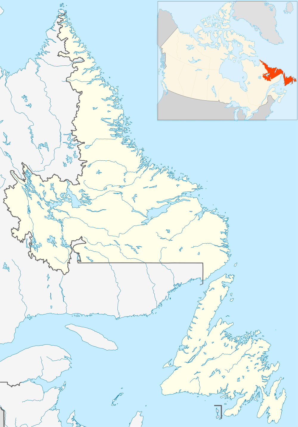
Kauerdluksoak Bay is a long narrow inlet or bay in Labrador at 58°09′33″N 62°37′57″W / 58.159112°N 62.632370°W.[1] From its head to the sea it is about 40 miles (64 km) long.[2]
At its mouth is the site of the former Hebron mission station.
References
This article is issued from Wikipedia - version of the 9/22/2014. The text is available under the Creative Commons Attribution/Share Alike but additional terms may apply for the media files.