Krems-Langenlois Airport
| Krems-Langenlois Airport Flugplatz Krems-Langenlois | |||||||||||
|---|---|---|---|---|---|---|---|---|---|---|---|
| IATA: none – ICAO: LOAG | |||||||||||
| Summary | |||||||||||
| Airport type | Public | ||||||||||
| Serves | Krems | ||||||||||
| Location | Austria | ||||||||||
| Elevation AMSL | 1,023 ft / 312 m | ||||||||||
| Coordinates | 48°26′46.4″N 015°38′2.0″E / 48.446222°N 15.633889°ECoordinates: 48°26′46.4″N 015°38′2.0″E / 48.446222°N 15.633889°E | ||||||||||
| Map | |||||||||||
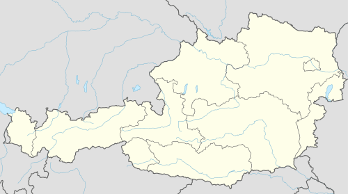 LOAG Location of Krems-Langenlois Airport in Austria | |||||||||||
| Runways | |||||||||||
| |||||||||||
Krems-Langenlois Airport (German: Flugplatz Krems or Flugplatz Krems-Gneixendorf, ICAO: LOAG) is a public use airport located 5 kilometres (3 mi) north-northeast of Krems, Niederösterreich, Austria.
See also
References
- ↑ Airport record for Krems-Langenlois Airport at Landings.com. Retrieved 1 September 2013
- ↑ Google (1 September 2013). "location of Krems-Langenlois Airport" (Map). Google Maps. Google. Retrieved 1 September 2013.
External links
- www.airfield-krems.eu
- Airport record for Krems-Langenlois Airport at Landings.com
- Current weather for LOAG at NOAA/NWS
This article is issued from Wikipedia - version of the 11/9/2016. The text is available under the Creative Commons Attribution/Share Alike but additional terms may apply for the media files.