Mahury
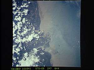
NASA photograph near Cayenne
The Mahury is a river of French Guiana.
Coordinates: 4°51′N 52°16′W / 4.850°N 52.267°W
This article is issued from Wikipedia - version of the 4/7/2016. The text is available under the Creative Commons Attribution/Share Alike but additional terms may apply for the media files.