Mont Lozère
| Mont Lozère | |
|---|---|
 | |
| Highest point | |
| Elevation | 1,699 m (5,574 ft) |
| Coordinates | 44°25′34″N 3°44′21″E / 44.42611°N 3.73917°ECoordinates: 44°25′34″N 3°44′21″E / 44.42611°N 3.73917°E |
| Geography | |
| Parent range | Cévennes |
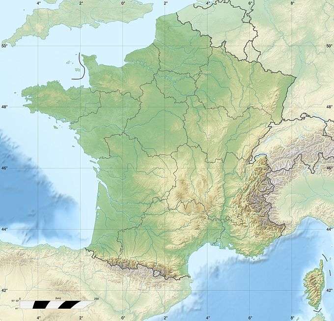
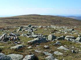
Mont Lozère (Occitan: Mont Losera) is the highest peak in the Cévennes, a subrange of the Massif Central in France]. It is 1,699 metres (5,574 ft) above sea level and lies within the Cévennes National Park.
Mont Lozère is commonly used for skiing during the winter months. It is also a popular destination for student groups during the summer months . It offers some stunning natural scenery and is covered by coniferous plantations and 'broom' scrub moorland.
Mount Lozere is also the source of the River Tarn.
References
| Wikimedia Commons has media related to Mont Lozère. |
This article is issued from Wikipedia - version of the 3/21/2016. The text is available under the Creative Commons Attribution/Share Alike but additional terms may apply for the media files.