Montney, British Columbia
| Montney | |
|---|---|
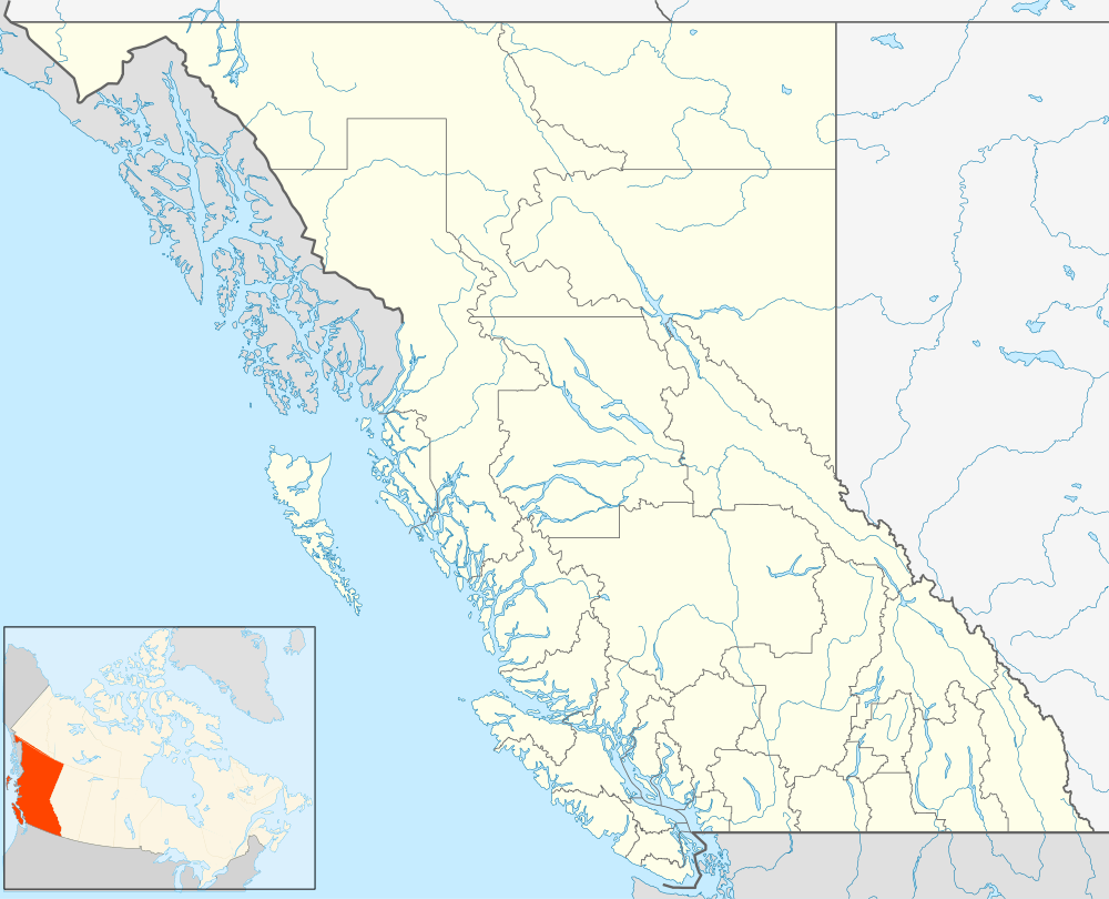
 Montney Location of Montney in British Columbia | |
| Coordinates: 56°27′00″N 120°55′00″W / 56.45000°N 120.91667°WCoordinates: 56°27′00″N 120°55′00″W / 56.45000°N 120.91667°W | |
| Country |
|
| Province |
|
| Area code(s) | 250, 778 |
Montney is an unincorporated locality located in British Columbia about 15 miles (24 km) north of Fort St. John, near Beatton Provincial Park.
It lies at an elevation of 700 meters (2,300 ft), along the BC Rail tracks.
The settlement gives the name to the Montney Formation, a gas bearing geological unit first described in a well located north-west of the hamlet.
The name of the town is an Anglicized form of a Canadian Indian name. The fact that the name is spelled the same as the Montney family name is purely coincidental.
References
This article is issued from Wikipedia - version of the 12/22/2014. The text is available under the Creative Commons Attribution/Share Alike but additional terms may apply for the media files.
