Munt la Schera
| Munt la Schera | |
|---|---|
 | |
| Highest point | |
| Elevation | 2,587 m (8,488 ft) |
| Prominence | 209 m (686 ft) [1] |
| Parent peak | Munt Buffalora |
| Coordinates | 46°38′42″N 10°12′39″E / 46.64500°N 10.21083°ECoordinates: 46°38′42″N 10°12′39″E / 46.64500°N 10.21083°E |
| Geography | |
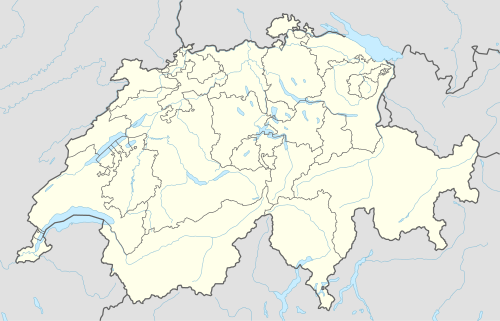 Munt la Schera Location in Switzerland | |
| Location | Graubünden, Switzerland |
| Parent range | Ortler Alps |
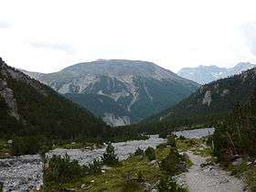
Munt la Schera (2,587 m) is a mountain of the Ortler Alps, located south of Il Fuorn (east of Zernez) in the canton of Graubünden.
The Munt la Schera Tunnel runs inside the mountain at a height of approximately 1,800 metres (5,910 ft).
References
External links
This article is issued from Wikipedia - version of the 1/30/2016. The text is available under the Creative Commons Attribution/Share Alike but additional terms may apply for the media files.