Orcus Patera

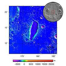
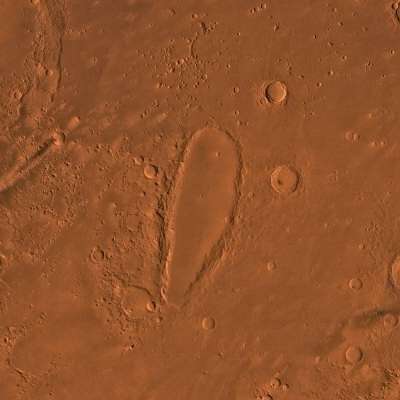
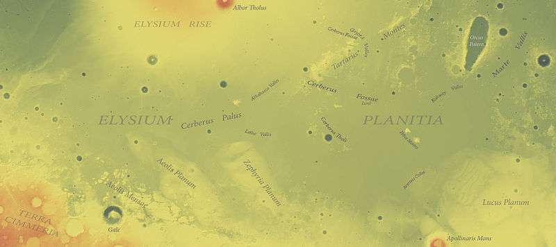
Orcus Patera is a region on the surface of the planet Mars first imaged by Mariner 4.[1] It is a depression about 380 km long, 140 km wide, and about 0.5 km (500 meters) deep but with a relatively smooth floor.[2] It has a rim up to 1.8 km high.[2] Orcus Patera is west of Mons Olympus and east of Elysium Mons.[2] It is about halfway between those two volcanoes, and east and north of Gale crater.
It has experienced aeolian processes, and has some small craters and graben structures.[2] However, it is not known how the patera originally formed.[2] Theories include volcanic, tectonic, or cratering events.[2] A study in 2000 that incorporated new results from Mars Global Surveryor along with older Viking data, did not come out clearly in favor of either volcanic or cratering processes.[3]
Mars Express observed this region in 2005, yielding a digital terrain model and color pictures.[2]
Viking

Mars Express


Location

See also
- Marte Vallis
- Tartarus Colles
- Schiller (crater) (elongated Lunar feature)
External links
- ESA - Mars’s mysterious elongated crater (27 August 2010)
- Google Mars - Orcus Patera
- Crater in Orcus Patera (MRO HiRISE)
- http://www.uahirise.org/results.php?keyword=Orcus+Patera&order=release_date&submit=Search
- Orcus Patera : Impact Crater or Volcanic Caldera? (2000)
| Wikimedia Commons has media related to Orcus Patera. |
References
- ↑ Williams, Dave; Friedlander, Jay. "The Orcus Patera region on Mars". Mars - Mariner 4. NASA. Retrieved December 20, 2015.
- 1 2 3 4 5 6 7 "HRSC Press Release #471 - Orcus Patera (orbit 2216 & 2238)". 2010-08-27. Archived from the original on 2014-08-07.
- ↑ Orcus Patera : Impact Crater or Volcanic Caldera? (2000)
- ↑