Pihanga
| Pihanga | |
|---|---|
 Pihanga | |
| Highest point | |
| Elevation | 1,325 m (4,347 ft) |
| Coordinates | 39°02′29″S 175°46′07″E / 39.04139°S 175.76861°ECoordinates: 39°02′29″S 175°46′07″E / 39.04139°S 175.76861°E |
| Geography | |
| Location | Taupo Volcanic Zone, New Zealand |
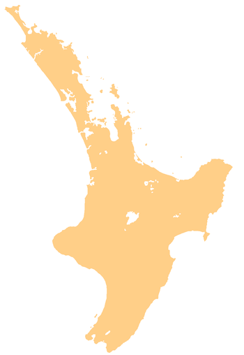
Mount Pihanga is a 1325m volcanic peak in the North Island Volcanic Plateau, located to the north of Mount Tongariro, between Tongariro and Lake Taupo. Lake Rotoaira lies to the south-west of Pihanga, and the smaller Lake Rotopounamu is situated on the south-western flank of the volcano, near Te Ponanga Saddle. Mt. Pihanga and Lake Rotopounamu are part of the 5,129ha Pihanga Scenic Reserve, which in 1975 was added to the Tongariro National Park. Mt. Pihanga appears to have a large crater, but this is in fact the result of erosion, and the "crater" quickly narrows into a steep gorge.
Maori Mythology
In Maori mythology, Pihanga was the female mountain whom Taranaki and Tongariro fought over, at a time when Taranaki was also located among the central North Island mountains. Tongariro's victory resulted in Taranaki's banishment to the west coast, with his movement creating features such as the Whanganui and Patea Rivers, and the Ngaere swamp.
See also
External links
- Planetware: New Zealand: Turangi: Mt Pihanga
- United Nations Environment Programme: Parks and Protected Areas: World Heritage Sites: Tongariro National Park
- Best, Elsdon. The Maori - Volume I, V Myth and Folk Lore. p205.
- Index Mundi: New Zealand: Mountains: Pihanga to Poarangitautahi
- Peter Thomson: Walks, GPS Tracks and lots of photographs: New Zealand: Rotopounamu
39°02′28.75″S 175°46′7″E / 39.0413194°S 175.76861°E