Piz Toissa
| Piz Toissa | |
|---|---|
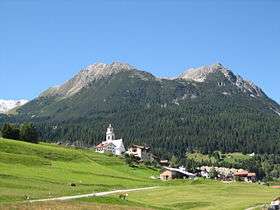 Piz Toissa with Parsonz from Riom-Parsonz | |
| Highest point | |
| Elevation | 2,657 m (8,717 ft) |
| Prominence | 310 m (1,020 ft) [1] |
| Parent peak | Piz Platta |
| Coordinates | 46°37′8″N 9°31′29″E / 46.61889°N 9.52472°ECoordinates: 46°37′8″N 9°31′29″E / 46.61889°N 9.52472°E |
| Geography | |
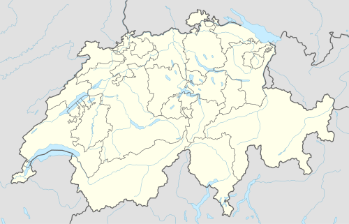 Piz Toissa Location in Switzerland | |
| Location | Graubünden, Switzerland |
| Parent range | Oberhalbstein Alps |
Piz Toissa is a mountain of the Oberhalbstein Alps, located west of Salouf in the canton of Graubünden.
Panorama
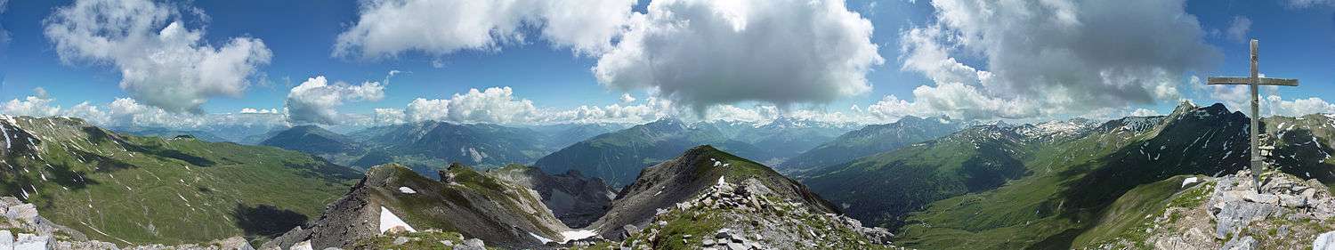
360°-Panorama from Piz Toissa
Gallery
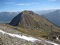 Piz Toissa and Ziteil from Piz Curvér
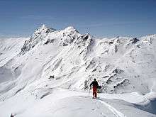 Climb to Piz Toissa
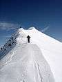 Climb to Piz Toissa
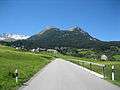 Piz Toissa with road from Riom
References
External links
 Media related to Piz Toissa at Wikimedia Commons
- Piz Toissa on Hikr
This article is issued from Wikipedia - version of the 5/9/2016. The text is available under the Creative Commons Attribution/Share Alike but additional terms may apply for the media files.