Santa Marta Province
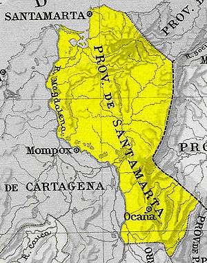
Map
Santa Marta Province was a province of Gran Colombia. With the 1824 changes in the subdivisions of Gran Colombia, it became part of Magdalena Department.
Coordinates: 11°15′11″N 70°13′00″W / 11.25306°N 70.21667°W
This article is issued from Wikipedia - version of the 9/4/2015. The text is available under the Creative Commons Attribution/Share Alike but additional terms may apply for the media files.