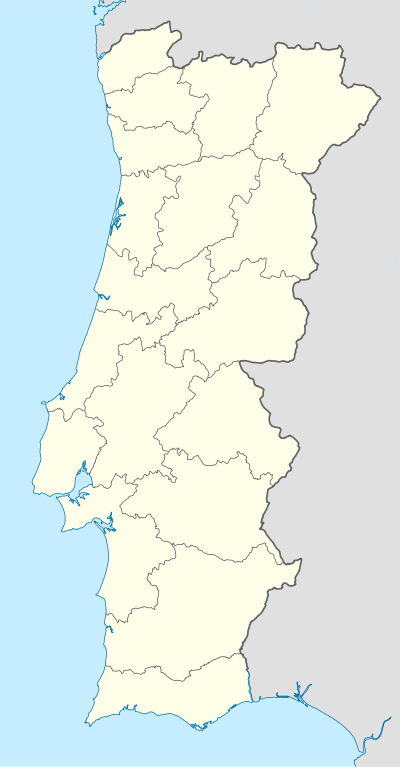
Ribeira do Neiva
| Ribeira do Neiva | |
|---|---|
| Parish | |
 Ribeira do Neiva | |
| Coordinates: 41°41′38″N 8°29′28″W / 41.694°N 8.491°WCoordinates: 41°41′38″N 8°29′28″W / 41.694°N 8.491°W | |
| Country | Portugal |
| Region | Norte |
| Subregion | Cávado |
| Intermunic. comm. | Cávado |
| District | Braga |
| Municipality | Vila Verde |
| Area | |
| • Total | 33.76 km2 (13.03 sq mi) |
| Population (2011) | |
| • Total | 3,807 |
| • Density | 110/km2 (290/sq mi) |
Ribeira do Neiva is a civil parish in the municipality of Vila Verde, Portugal. It was formed in 2013 by the merger of the former parishes Duas Igrejas, Rio Mau, Goães, Godinhaços, Pedregais, Azões and Portela das Cabras.[1] The population in 2011 was 3,807,[2] in an area of 33.76 km².[3]
References
- ↑ Diário da República. "Law nr. 11-A/2013, pages 552 138-139" (pdf) (in Portuguese). Retrieved 5 August 2014.
- ↑ Instituto Nacional de Estatística (INE), Census 2011 results according to the 2013 administrative division of Portugal
- ↑ Direção-Geral do Território
This article is issued from Wikipedia - version of the 7/20/2016. The text is available under the Creative Commons Attribution/Share Alike but additional terms may apply for the media files.