Roccascalegna
| Roccascalegna | |
|---|---|
| Comune | |
| Comune di Roccascalegna | |
|
Castello di Roccascalegna | |
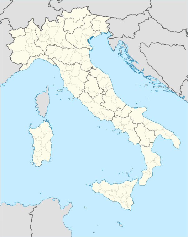 Roccascalegna Location of Roccascalegna in Italy | |
| Coordinates: 42°0′N 14°18′E / 42.000°N 14.300°ECoordinates: 42°0′N 14°18′E / 42.000°N 14.300°E | |
| Country | Italy |
| Region | Abruzzo |
| Province / Metropolitan city | Chieti (CH) |
| Frazioni | Aia di Rocco, Articciaro, Capriglia, Colle Grande, Collebuono, Solagne |
| Area | |
| • Total | 22 km2 (8 sq mi) |
| Elevation | 430 m (1,410 ft) |
| Population (December 31, 2004) | |
| • Total | 1,423 |
| • Density | 65/km2 (170/sq mi) |
| Time zone | CET (UTC+1) |
| • Summer (DST) | CEST (UTC+2) |
| Postal code | 66040 |
| Dialing code | 0872 |

Roccascalegna is a comune and town in the province of Chieti, part of the Abruzzo region of southern Italy.
Monuments

Church of San Pietro
- Medieval village: the small town is perfectly preserved, lying on the spur of the mountain.
- Medieval castle: Castello di Roccascalegna was built by the Lombards, with a Norman tower. In 16th century structure was enlarged, with the construction of three circular towers.In the inner porch it was erected the chapel of the Holy Rosary, linked to the medieval church of San Pietro.
- Church of San Pietro: It was built in the Middle Ages, consisting of rough stone mountain. The bell tower was restored in 19th century
- Abbey of San Pancrazio: the church was opened in 1205, and was built in medieval times.
| Wikimedia Commons has media related to Roccascalegna. |
This article is issued from Wikipedia - version of the 5/20/2016. The text is available under the Creative Commons Attribution/Share Alike but additional terms may apply for the media files.