Saltuni
| Saltuni | |
|---|---|
 Saltuni | |
| Highest point | |
| Elevation | 5,284 m (17,336 ft) [1] |
| Coordinates | 16°14′12″S 68°10′57″W / 16.23667°S 68.18250°WCoordinates: 16°14′12″S 68°10′57″W / 16.23667°S 68.18250°W |
| Geography | |
| Location |
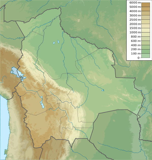
Bolivia La Paz Department |
| Parent range | Andes, Cordillera Real |
Saltuni is a 5,284 metres (17,336 ft) high mountain in the Cordillera Real in the Bolivian Andes. It is situated in the La Paz Department, Murillo Province, La Paz Municipality, near the border with the Los Andes Province, Pucarani Municipality. Saltuni lies southwest of Jach'a Chukita and south of Jisk'a Chukita. A little lake name Janq'u Quta (Aymara for "white lake") lies at its feet, south of it.[1][2]
References

This article is issued from Wikipedia - version of the 12/6/2015. The text is available under the Creative Commons Attribution/Share Alike but additional terms may apply for the media files.