Sheet Harbour Road, Nova Scotia
Sheet Harbour Road in Nova Scotia
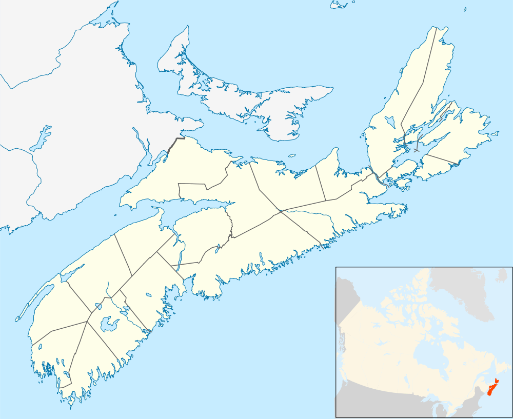
Sheet Harbour Road is a community of the Halifax Regional Municipality in the Canadian province of Nova Scotia.[1] It is located just 5 minutes south of Upper Musquodoboit, Nova Scotia. Its name is derived from Route 224, which is the primary route from the Musquodoboit Valley to Sheet Harbour, Nova Scotia.
Navigator
 |
Upper Musquodoboit, Nova Scotia Via To |
| ||
| |
||||
| ||||
| | ||||
| Beaver Dam, Nova Scotia Sheet Harbour, Nova Scotia Via |
Coordinates: 45°7′7.61″N 62°53′46.99″W / 45.1187806°N 62.8963861°W
References
- ↑ Brown, Thomas Place-names of the province of Nova Scotia. 1922. ASIN B0068U8SFA
External links
This article is issued from Wikipedia - version of the 10/21/2016. The text is available under the Creative Commons Attribution/Share Alike but additional terms may apply for the media files.