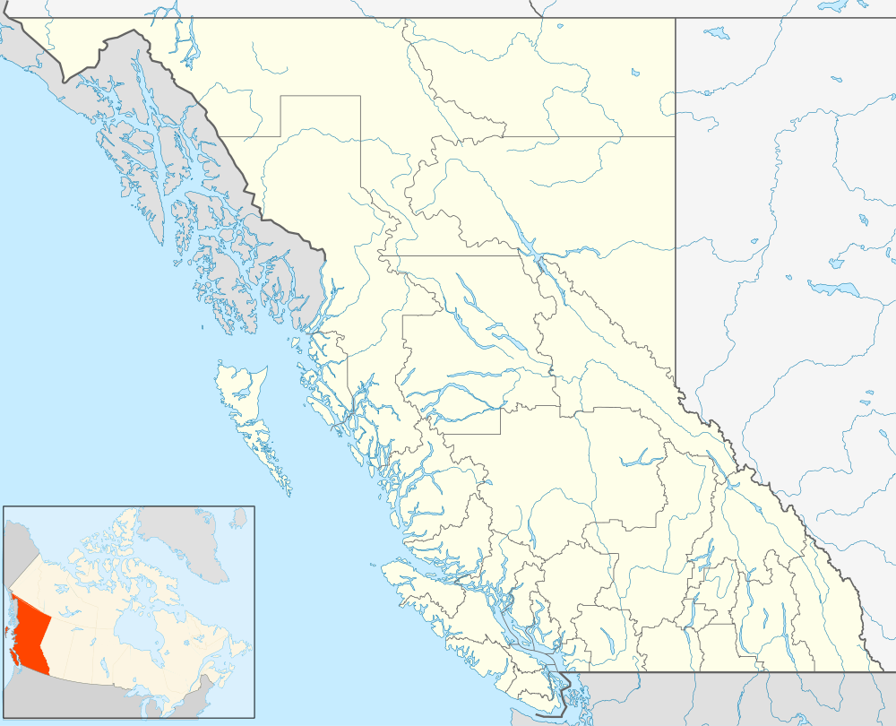
Summit Lake, British Columbia
| Summit Lake | |
|---|---|
 Summit Lake Location of Summit Lake in British Columbia | |
| Coordinates: 54°15′00″N 122°38′00″W / 54.25000°N 122.63333°WCoordinates: 54°15′00″N 122°38′00″W / 54.25000°N 122.63333°W | |
| Country |
|
| Province |
|
| Area code(s) | 250 / 778 / 236 |
| Highways |
|
For other places with the same name, see Summit Lake.
Summit Lake is the name of an unincorporated community in the Central Interior of British Columbia, Canada, located north of the City of Prince George on the John Hart Highway at the lake of the same name.[1] The community of McLeod Lake (Fort McLeod) is a few miles farther to the north. Summit Lake is situated at the divide between the Fraser and Peace) and so is at the divide between the Pacific and Arctic drainages. As such, it is also the location of the prominence col for Mount Orizaba, in relation to Denali, meaning also that it is one of the lowest locations along the Continental Divide of North America north of Mexico (elevation 710 m (2329 ft).[2]
References
This article is issued from Wikipedia - version of the 2/12/2016. The text is available under the Creative Commons Attribution/Share Alike but additional terms may apply for the media files.