Tofino/Long Beach Airport
| Tofino/Long Beach Airport | |||||||||||||||||||
|---|---|---|---|---|---|---|---|---|---|---|---|---|---|---|---|---|---|---|---|
|
IATA: YAZ – ICAO: CYAZ – WMO: 71106 | |||||||||||||||||||
| Summary | |||||||||||||||||||
| Airport type | Public | ||||||||||||||||||
| Operator | Alberni-Clayoquot Regional District | ||||||||||||||||||
| Serves | Tofino, British Columbia | ||||||||||||||||||
| Location | Tofino, British Columbia | ||||||||||||||||||
| Time zone | PST (UTC−08:00) | ||||||||||||||||||
| • Summer (DST) | PDT (UTC−07:00) | ||||||||||||||||||
| Elevation AMSL | 80 ft / 24 m | ||||||||||||||||||
| Coordinates | 49°04′56″N 125°46′21″W / 49.08222°N 125.77250°WCoordinates: 49°04′56″N 125°46′21″W / 49.08222°N 125.77250°W | ||||||||||||||||||
| Website | www.tofinoairport.com | ||||||||||||||||||
| Map | |||||||||||||||||||
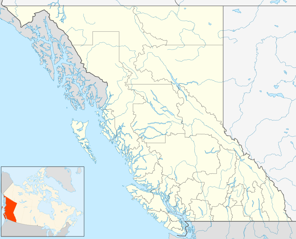
 CYAZ Location in British Columbia | |||||||||||||||||||
| Runways | |||||||||||||||||||
| |||||||||||||||||||
| Statistics (2010) | |||||||||||||||||||
| |||||||||||||||||||
Tofino/Long Beach Airport, (IATA: YAZ, ICAO: CYAZ), is an international airport that is located 6 nautical miles (11 km; 6.9 mi) southeast of Tofino, British Columbia, Canada.
It is used by private and small commercial turboprop planes.[4] Coastal fog is a common morning phenomenon in the summer, complicating access by air until the weather clears. Several IFR approaches are available including GPS and NDB types. This airport is not equipped for night time operations. A golf course is just west of the runway.
History
Tofino Airport was built beginning in 1941 as a military airfield until 1944, then became a radar station RCAF Station Tofino from 1953 to 1957, and finally became a civilian airfield in 1958.[5]
Airlines and destinations
| Airlines | Destinations |
|---|---|
| Orca Airways | Vancouver, Victoria |
| KD Air | Vancouver |
| Kenmore Air | Campbell River, Seattle-Boeing Field† |
| San Juan Airlines | Anacortes, Friday Harbor |
† Must have passport or other valid documents to fly from Seattle to or from Tofino when purchasing tickets.
Facilities
In addition to the small terminal building (completed in 2010) the airport has a few support structures
- 2 bay service vehicle shed - next to terminal building
- 2 metal storage sheds
- small maintenance hangar
- salt dome
- long wood shed - at the entrance along Airport Road
- parking lot - 80 spaces
- Aviation gas and Jet A fuel tanks
- Budget Car rental kiosk - inside terminal with cars parked outside
- airline kiosks, passenger waiting area, restrooms and food vending machines inside terminal
The terminal building is signed as Long Beach Airport on one side and Tofino Ucuelet Airport on the other.
The airport does not operate after sun down due to lack of nighttime capabilities.[6]
Environment Canada has a weather station on site. It is a white building located next to the airport on Airport Road.
Transportation
The airport is reached by Pacific Rim Highway via Airport Road. It was completed in 1959 and currently connects to Tofino and Long Beach.
See also
References
- ↑ Canada Flight Supplement. Effective 0901Z 15 September 2016 to 0901Z 10 November 2016
- ↑ Synoptic/Metstat Station Information
- ↑ Total aircraft movements by class of operation
- ↑ Airlines using Tofino Airport: Orca Airways, Craig Air
- ↑ http://www.tofinoairport.com/about.php
- ↑ http://www.tofinoairport.com/services.php
External links
- Accident history for YAZ at Aviation Safety Network
- Past three hours METARs, SPECI and current TAFs for Tofino Airport from Nav Canada as available.