Ukanje
| Ukanje | |
|---|---|
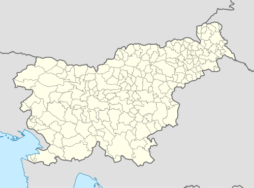 Ukanje Location in Slovenia | |
| Coordinates: 46°5′18.83″N 13°34′51.24″E / 46.0885639°N 13.5809000°ECoordinates: 46°5′18.83″N 13°34′51.24″E / 46.0885639°N 13.5809000°E | |
| Country |
|
| Traditional region | Littoral |
| Statistical region | Gorizia |
| Municipality | Kanal |
| Area | |
| • Total | 4.22 km2 (1.63 sq mi) |
| Elevation | 314 m (1,030 ft) |
| Population (2002) | |
| • Total | 50 |
| [1] | |
Ukanje (pronounced [ˈuːkanjɛ]) is a settlement in the hills to the east of Kanal in the Littoral region of Slovenia on the border with Italy.[2]
Church
_-_cerkev_sv._Kancijana_(pro%C4%8Delje_z_zvon%C4%8Dnico).jpg)
St. Cantianus's Church in Britof
The local church stands in the hamlet of Britof and is dedicated to Saint Cantianus. It belongs to the Parish of Marijino Celje in the Diocese of Koper.[3] It is a Gothic church with a bell gable, built in 1505. The interior houses a Gothic side altar (a replica, the original is kept in the National Gallery of Slovenia), a gilded Baroque altar, and Gothic frescoes. The church is protected as a cultural monument of local significance.[4]
References
- ↑ Statistical Office of the Republic of Slovenia
- ↑ Kanal municipal site
- ↑ Roman Catholic Diocese of Koper List of Churches May 2008
- ↑ "3820: Britof pri Ukanju - Cerkev sv. Kancijana" [3820: Britof pri Ukanju – St. Cantianus's Church]. Register nepremične kulturne dediščine [Registry of Immovable Cultural Heritage] (in Slovenian). Ministry of Culture, Republic of Slovenia. Retrieved 15 April 2014.
External links
 Media related to Ukanje at Wikimedia Commons
- Ukanje on Geopedia (map, aerial view)
- Ukanje on Google Maps (map, photographs, street view)
| Settlements | Administrative centre: Kanal
|  | ||||||
|---|---|---|---|---|---|---|---|---|
| Landmarks |
| |||||||
| Notable people |
| |||||||
This article is issued from Wikipedia - version of the 1/1/2016. The text is available under the Creative Commons Attribution/Share Alike but additional terms may apply for the media files.