Uostadvaris Lighthouse
 Lithuania | |
| Location |
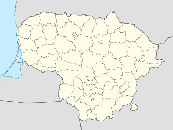
Uostadvaris Rusnė Lithuania |
|---|---|
| Coordinates | 55°20′39.4″N 21°17′29.4″E / 55.344278°N 21.291500°E |
| Year first constructed | 1876 |
| Deactivated | 1986 |
| Construction | brick tower |
| Tower shape | octagonal prism tower with balcony and lantern |
| Markings / pattern | red brick tower, white lantern and balcony |
| Height | 12 metres (39 ft) |
| Focal height | 13 metres (43 ft) |
| Range | 12 nautical miles (22 km; 14 mi) |
| ARLHS number | LIT-007 |
| Managing agent | Nemunas Delta Regional Park[1] |
Uostadvaris Lighthouse (Lithuanian: Uostadvario švyturys) is a lighthouse located 12 kilometres north of Rusnė, in Lithuania. The lighthouse is located on southern side of the Atmata River, one of the mouths of the Nemunas Delta, on the coast of the Curonian Spit.[2]
The lighthouse was constructed in 1876. The lighthouse is a square cylindrical red-brick building, attached by a passage to the lighthouse keeper's building. The lighthouse was deactivated in 1986.[3]
See also
References
- ↑ Rowlett, Russ. "Lighthouses of Lithuania". The Lighthouse Directory. University of North Carolina at Chapel Hill. Retrieved February 20, 2016.
- ↑ "Lighthouses Of Lithuania". UNC. Retrieved 24 September 2015.
- ↑ "Uostadvaris Svyturis (Kuvertshof), Südseite der Memelmündung, Litauen". Leuchttum. Retrieved 24 September 2015.
| Wikimedia Commons has media related to Uostadvario švyturys. |
This article is issued from Wikipedia - version of the 10/15/2016. The text is available under the Creative Commons Attribution/Share Alike but additional terms may apply for the media files.