Várda
| Várda | |
|---|---|
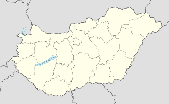 Várda Location of Várda | |
| Coordinates: 46°27′43″N 17°44′33″E / 46.46202°N 17.74252°ECoordinates: 46°27′43″N 17°44′33″E / 46.46202°N 17.74252°E | |
| Country |
|
| County | Somogy |
| Area | |
| • Total | 10.36 km2 (4.00 sq mi) |
| Population (2004) | |
| • Total | 554 |
| • Density | 53.47/km2 (138.5/sq mi) |
| Time zone | CET (UTC+1) |
| • Summer (DST) | CEST (UTC+2) |
| Postal code | 7442 |
| Area code(s) | 82 |
Várda is a village in Somogy county, Hungary.
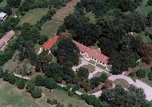
Aerialphotography: Várda - palace
External links
This article is issued from Wikipedia - version of the 9/7/2015. The text is available under the Creative Commons Attribution/Share Alike but additional terms may apply for the media files.