Villapiana
| Villapiana | |
|---|---|
| Comune | |
| Comune di Villapiana | |
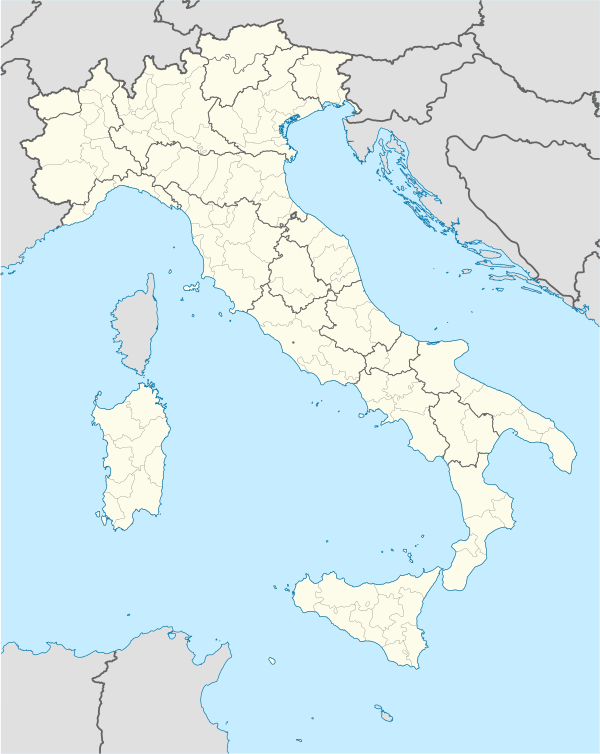 Villapiana Location of Villapiana in Italy | |
| Coordinates: 39°51′N 16°27′E / 39.850°N 16.450°ECoordinates: 39°51′N 16°27′E / 39.850°N 16.450°E | |
| Country | Italy |
| Region | Calabria |
| Province / Metropolitan city | Cosenza (CS) |
| Frazioni | Centro, Lido, Scalo |
| Area | |
| • Total | 38 km2 (15 sq mi) |
| Elevation | 206 m (676 ft) |
| Population (February 2009)[1] | |
| • Total | 5,371 |
| • Density | 140/km2 (370/sq mi) |
| Demonym(s) | Villapianesi |
| Time zone | CET (UTC+1) |
| • Summer (DST) | CEST (UTC+2) |
| Postal code | 87076 |
| Dialing code | 0981 |
| Patron saint | San Francesco di Paola |
| Website | Official website |
Villapiana is a town and comune in the province of Cosenza in the Calabria region of southern Italy.

Bunker of Second World War at the railway line in Villapiana Scalo
References
This article is issued from Wikipedia - version of the 5/31/2015. The text is available under the Creative Commons Attribution/Share Alike but additional terms may apply for the media files.