Waylla Q'awa
For the mountain in the Oruro Department, Bolivia, see Waylla Q'awa (Oruro).
| Waylla Q'awa | |
|---|---|
 Waylla Q'awa Location in Bolivia | |
| Highest point | |
| Coordinates | 20°13′05″S 68°35′46″W / 20.21806°S 68.59611°WCoordinates: 20°13′05″S 68°35′46″W / 20.21806°S 68.59611°W |
| Geography | |
| Location |
Bolivia, Potosí Department Chile |
| Parent range | Andes, Cordillera Occidental |
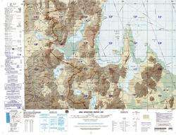
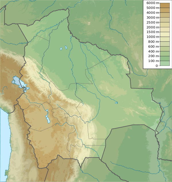
Map showing Waylla Q'awa west of the Uyuni salt flat near the border of Bolivia and Chile
Waylla Q'awa Aymara waylla Stipa obtusa, a kind of feather grass, q'awa little river, ditch, crevice, fissure, gap in the earth,[1][2][3] "stipa brook" or "stipa ravine", also spelled Huaylla Khaua) is a mountain in the Andes of Bolivia, west of the Uyuni salt flat. It is situated in the Potosí Department, Daniel Campos Province, Llica Municipality, Canquella Canton.[4]
See also
References
- ↑ Radio San Gabriel, "Instituto Radiofonico de Promoción Aymara" (IRPA) 1993, Republicado por Instituto de las Lenguas y Literaturas Andinas-Amazónicas (ILLLA-A) 2011, Transcripción del Vocabulario de la Lengua Aymara, P. Ludovico Bertonio 1612 (Spanish-Aymara-Aymara-Spanish dictionary)
- ↑ Plan de desarollo municipal Municipio de Turco
- ↑ "Diccionario Bilingüe, Castellano - Aymara, Para: Tercera Edición". Félix Layme Pairumani. Retrieved August 14, 2014.
- ↑ "Llica". Retrieved August 15, 2014. Llica Municipality:population data and map
This article is issued from Wikipedia - version of the 4/19/2016. The text is available under the Creative Commons Attribution/Share Alike but additional terms may apply for the media files.