Wied (river)
| Wied | |
|---|---|
| Country | Germany |
| Basin | |
| Main source |
Westerwald 454 m (1,490 ft) |
| River mouth |
Rhine 50°26′29″N 7°26′33″E / 50.44139°N 7.44250°ECoordinates: 50°26′29″N 7°26′33″E / 50.44139°N 7.44250°E |
| Physical characteristics | |
| Length | 102 km (63 mi) |

Wied at Roßbach

Wiedbridge and Furt in Michelbach
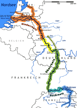
The Wied is a river in Rhineland-Palatinate, Germany, right tributary of the Rhine. It is 102 km long. It flows generally south-west, through the Westerwald hills. Its source is near Dreifelden. It flows through Altenkirchen, Neustadt (Wied) and Waldbreitbach, and ends in the Rhine in Neuwied.
| Wikimedia Commons has media related to Wied (river). |
Tributaries of the Rhine | ||
|---|---|---|
| Left (western) |
|  |
| Right (eastern) |
| |
This article is issued from Wikipedia - version of the 6/19/2016. The text is available under the Creative Commons Attribution/Share Alike but additional terms may apply for the media files.